We’re back from our 5 day trip to the Isle and wanted to get this trip report out, in one long segment in case anyone is heading out there soon and needs up to date conditions. We were given a current condition report from friends prior to leaving and it was super helpful. Please check back or hit subscribe if you would like to see our videos and read upcoming posts about prepping, planning, transportation and the specific gear I brought for this trip.
TRIP DETAILS
LENGTH 47.6 trail miles (according to GPS, including spurs to campsites)
DIFFICULTY rated moderate to difficult due to elevation, trail conditions and remote nature.
DATE HIKED May 27-June 1, 2021
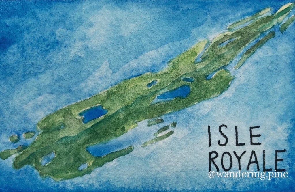
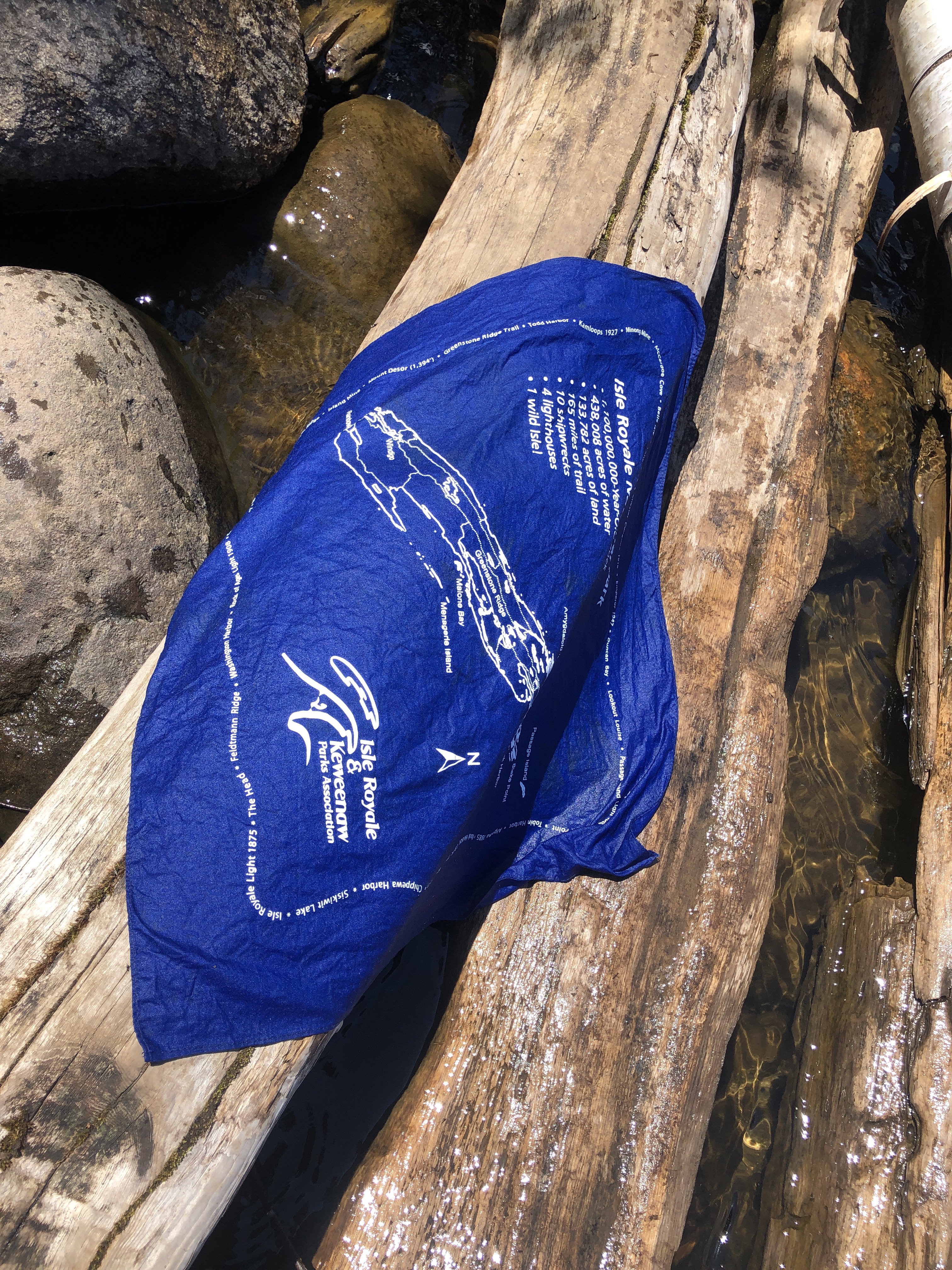
MAIN FEATURES Isle Royale is a 46 mile long island in the upper portion of Lake Superior. It’s original Ojibwe name is Minong, or “the good place”. The Isle is currently part of Michigan and operates on Eastern time but also borders Minnesota and Canada. Isle Royale has a long history of fishing and copper mining and is its unique location and habitat does not host bears or ticks (at least not the kind of ticks that like humans)! Moose have free run of the island, and wolves have been reintroduced to try to bring balance to their population. If you listen closely, you may hear them howling at night along with the calling loons. They say that Isle Royale National Park is the least visited National Park in the system, but most frequently returned to. It is also the only park that closes for the winter due to it’s harsh conditions. For more on the heritage of the Minong , know before you go tips and current conditions, please visit the National Park Website.
Day 1: Grand Marais to Rock Harbor to Three Mile Campground | 3.98 miles
Our day started out at 8am with a 5 hour drive up to Grand Marais with a stop for an early lunch in Two Harbors at Cedar Coffee Co. I like their food, coffee and Cedaero bike shop, and always like to give them business when I’m swinging through.

We arrived in Grand Marais at 1:30, just enough time to cruise through the landmark Ben Franklin store, a cross between an old fashioned five and dime and a BWCA gear outfitter. We had a good look at the lake and headed up the Gunflint Trail to the Grand Marais Airport. Heads up, if you are heading up this way any time near the writing of this post, allow yourself extra time to navigate construction through Grand Marais and be prepared to drive around in circles a bit to get going in the right direction.

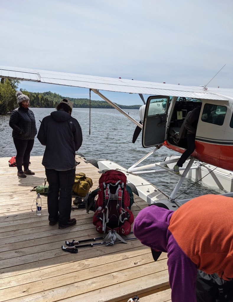
Arriving by Sea Plane
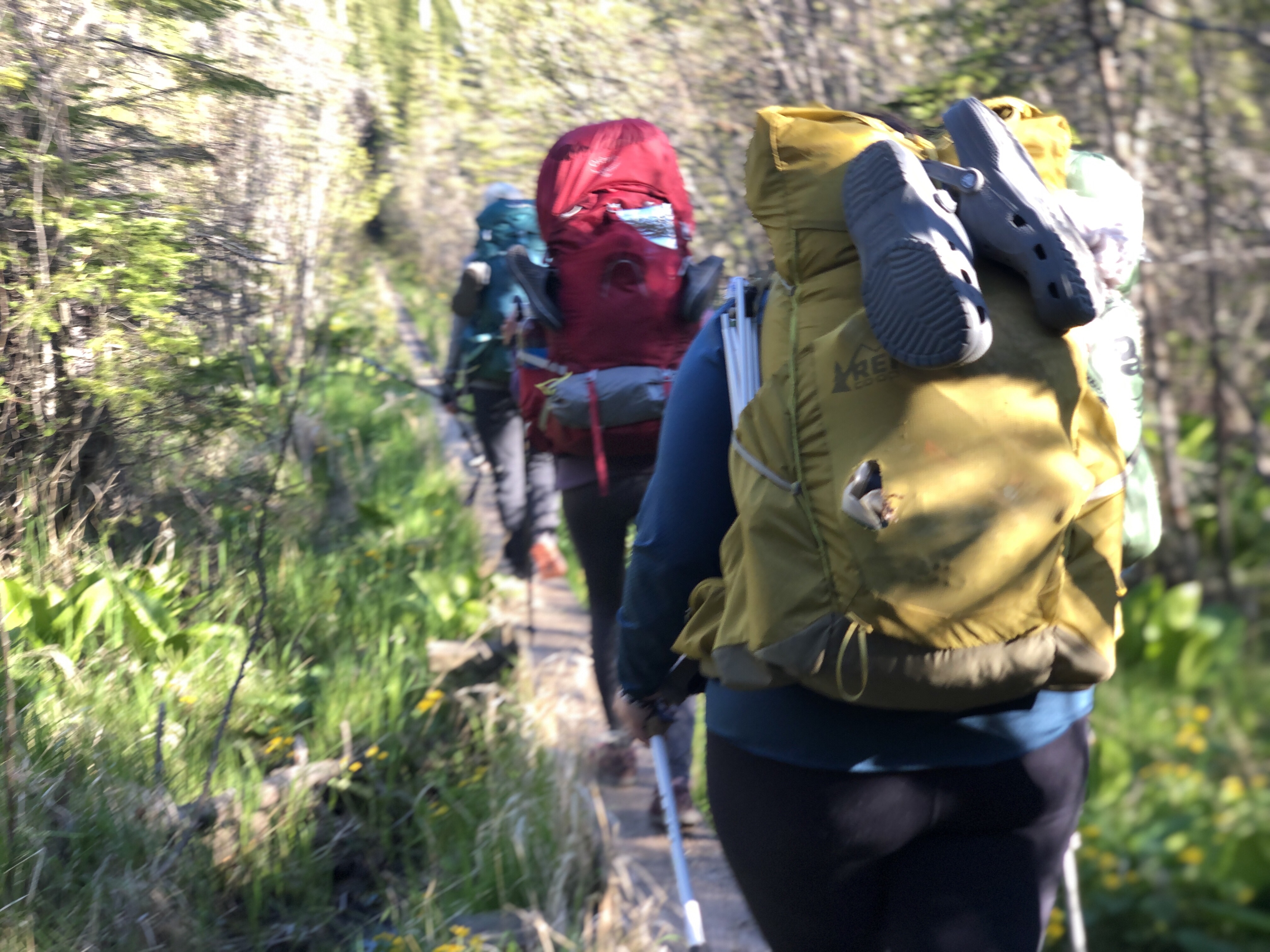
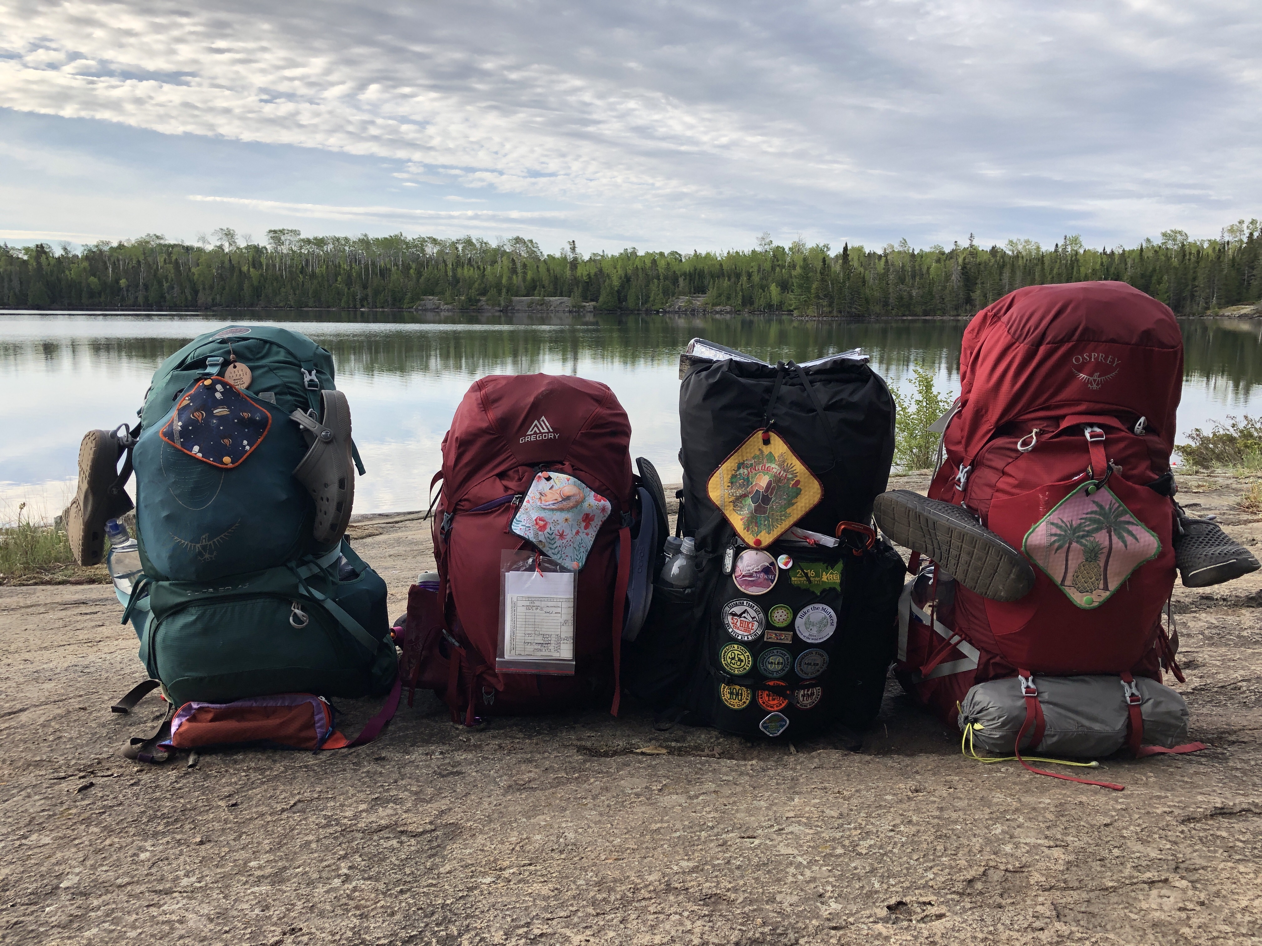
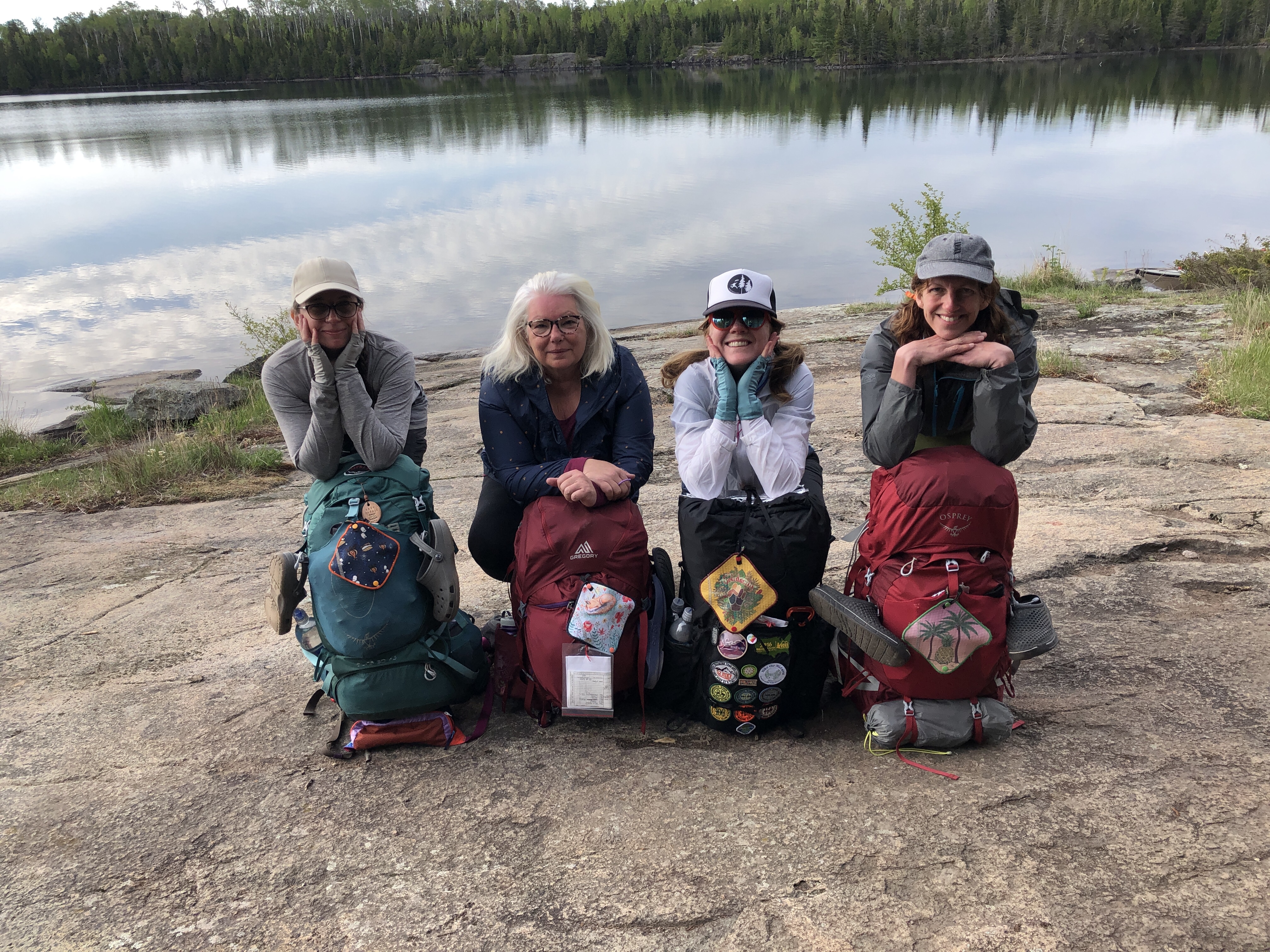
We arrived at the airport to catch our plane 30 minutes early and did a quick pack weigh in at the car. We were all at around 31-32 lbs with food and water and I dumped some extra food last minute (I always pack too many snacks). This was a longer trip for us, so we had 2 more days of food than we usually carry, 1-2 more liters more water than usual and some extra gear to keep us warm and dry in the inland vs coastal temperature swings. Probably about 5 more lbs of gear, but we were expecting it. Prank wowed us all with her full sized pillow!
Our Isle Royale Seaplanes pilot, was waiting for us, ready to go! He was reassuring and gave us the safety protocol as we put on life jackets and watched him load our gear into the pontoons of the tiny plane. I felt fortunate to have flown in this plane before as part of a tour we took on a family vacation after finishing a long section of the Superior Hiking Trail, 2 years ago. Here’s the video from that trip if you want to see what the Isle Royale Seaplane flight is like, while I’m editing this trip’s footage. I didn’t time our flight, but I’m estimating it was around 40 minutes to Rock Harbor and about 30 minutes on our way back from Windigo.
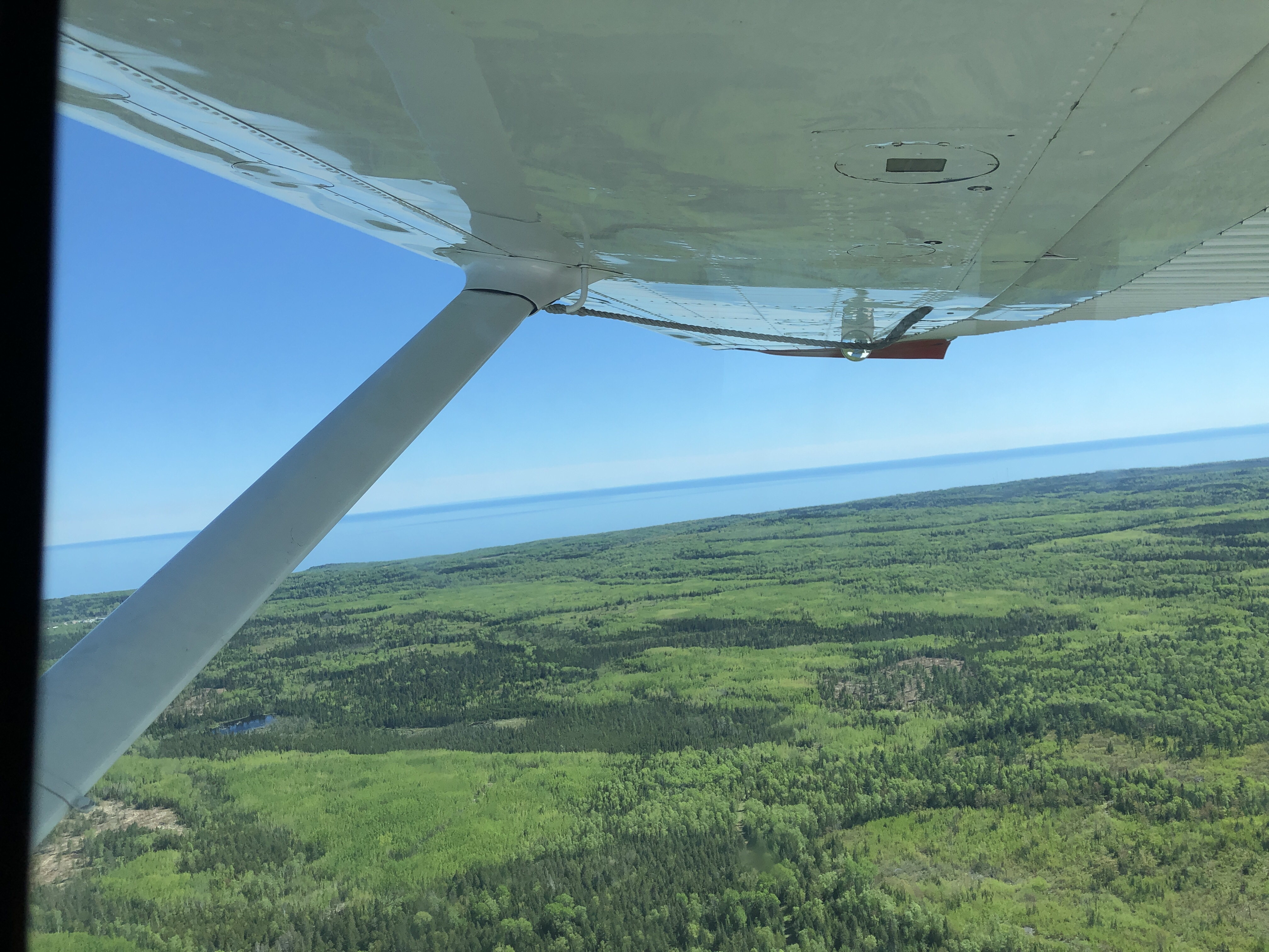
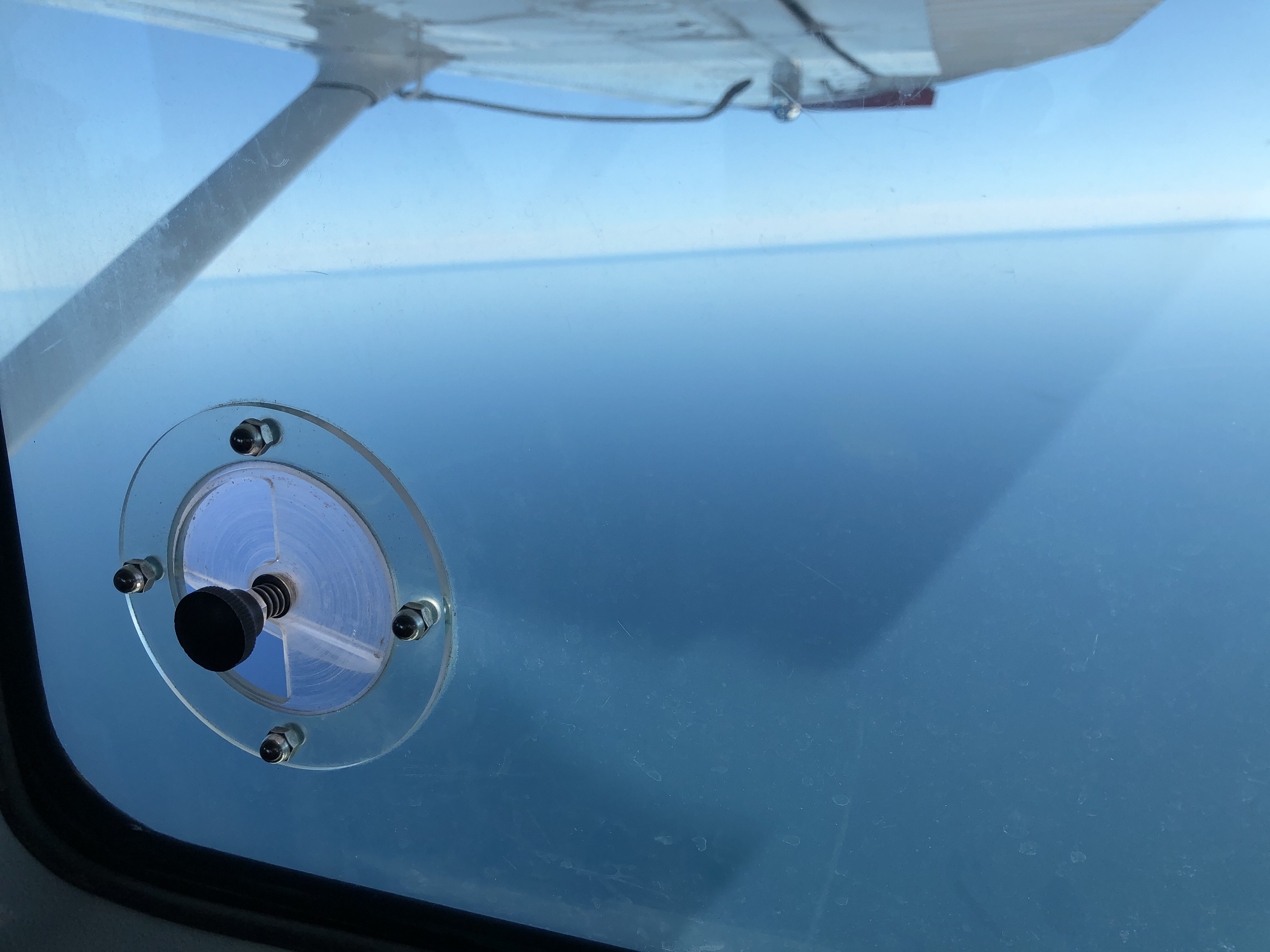


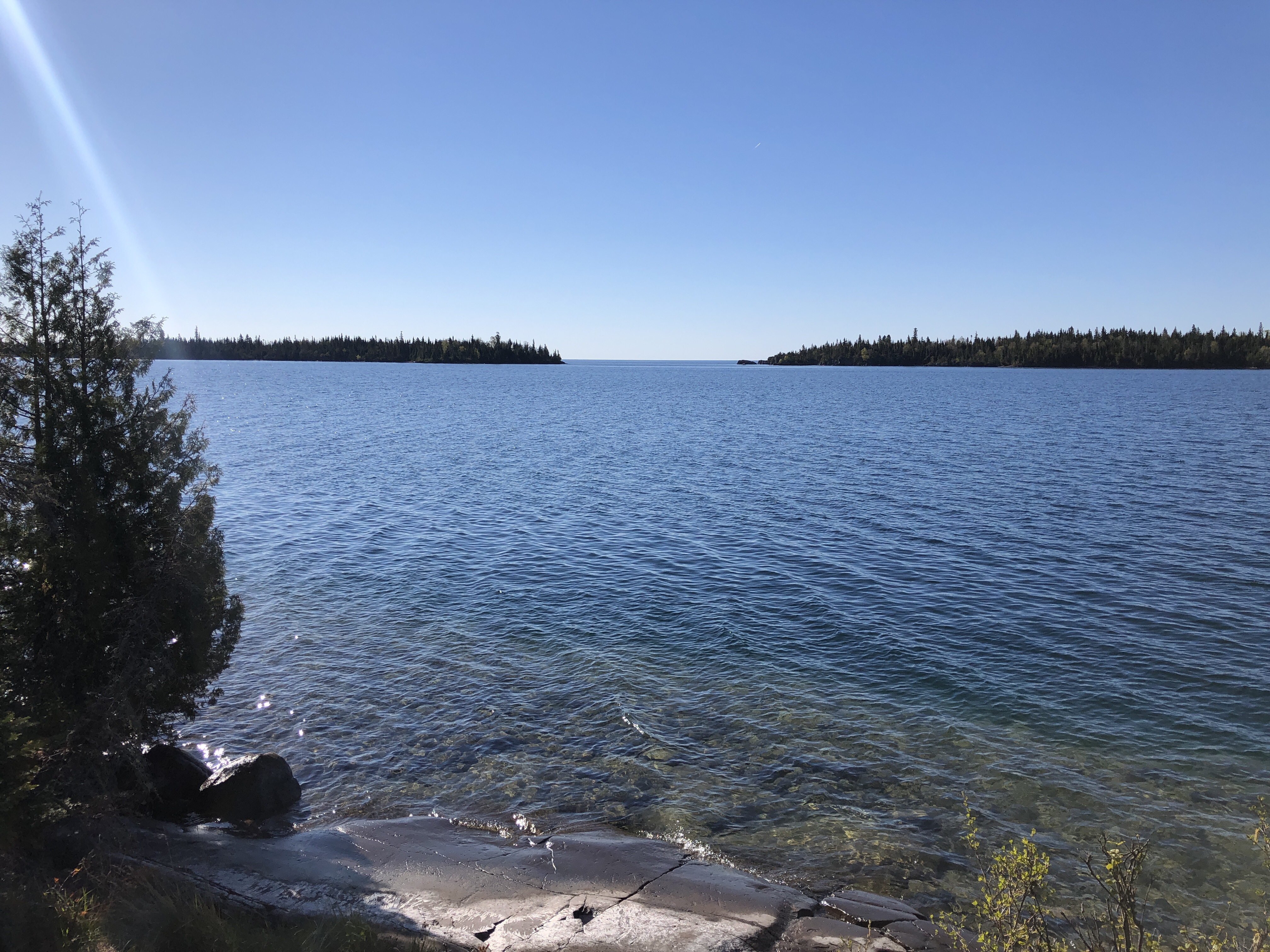
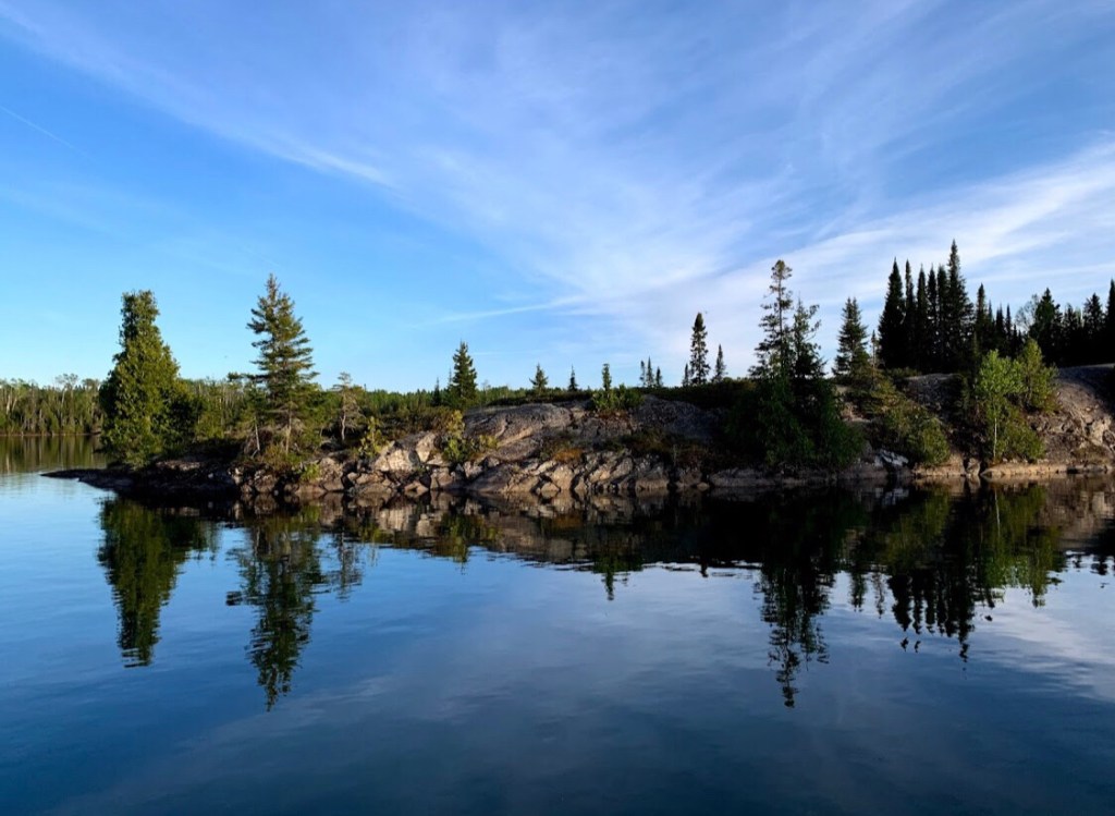
Our flight took us over a beautiful view of the North Shore (near Devil Track Lake) and Lake Superior. Clear, sparkling blue water, views of Canada, green trees on the island. We took the ferry when we visited the Island 5 years ago, and recognizing its contours from above was a wonderful experience after looking at a map for months leading up to the trip. For information on my last trip, including the experience on the ferry, you can check out this 3 part post.

Checking In
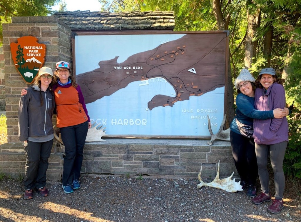
We hiked up the hill from our water landing to the Rock Harbor Ranger Station for orientation and permit pick up. Rock Harbor is just opening up for the season, so the Ranger had a table set up outside to greet us. Fuel cannot be brought on the plane, so we made arrangements beforehand and they opened up the store so we could purchase fuel for our trip. We also received direction on how to store our food safely from small animals (in odor proof sacks in our tents!) and a reminder to also secure our shoes so the foxes would not run off with them. True story. We had our scouts tie their boots to their tent poles on the last trip, I brought mine inside the tent.
Finally the Ranger gave us our permit and warned us of protective mother animals, especially cow moose. There was also another more unusual warning or a nesting goshawk that had been swooping and buzzing hikers between Mt Siskiwit and Hatchet lake. We thought she was joking when she suggested that we walk with our packs overhead for protection through this 3-5 mile section to protect our heads and faces from her talons…after seeing the looks on our faces, she said it was probably ok to hang bandanas, a raincoat or shirt covering your face for the duration of that section. The thought of this attack bird, swooping us from behind was the most frightening part of our trip and we kind of wondered if this was some sort of Ranger prank involving a carefully placed wildlife camera. Spoiler: it wasn’t a joke, and we made it through just fine.

Tobin Harbor Trail
The Rock Harbor trail to Three mile is rated one of the most difficult in the park due to rocks, roots and shear rocks (kind of sounds like our friend, the Superior hiking Trail). After a long day of travel and heavy packs, we decided that the easy breezy Tobin Harbor trail to Three Mile was the way to go. It did not disappoint! The Tobin Harbor Trail is clear with views of the harbor, winds through pine forests with sage colored moss hanging from the trees. Small pine cones under foot. Dry and mostly flat except for the hill to get up and over to camp. Easier than the SHT with lots of views of water.
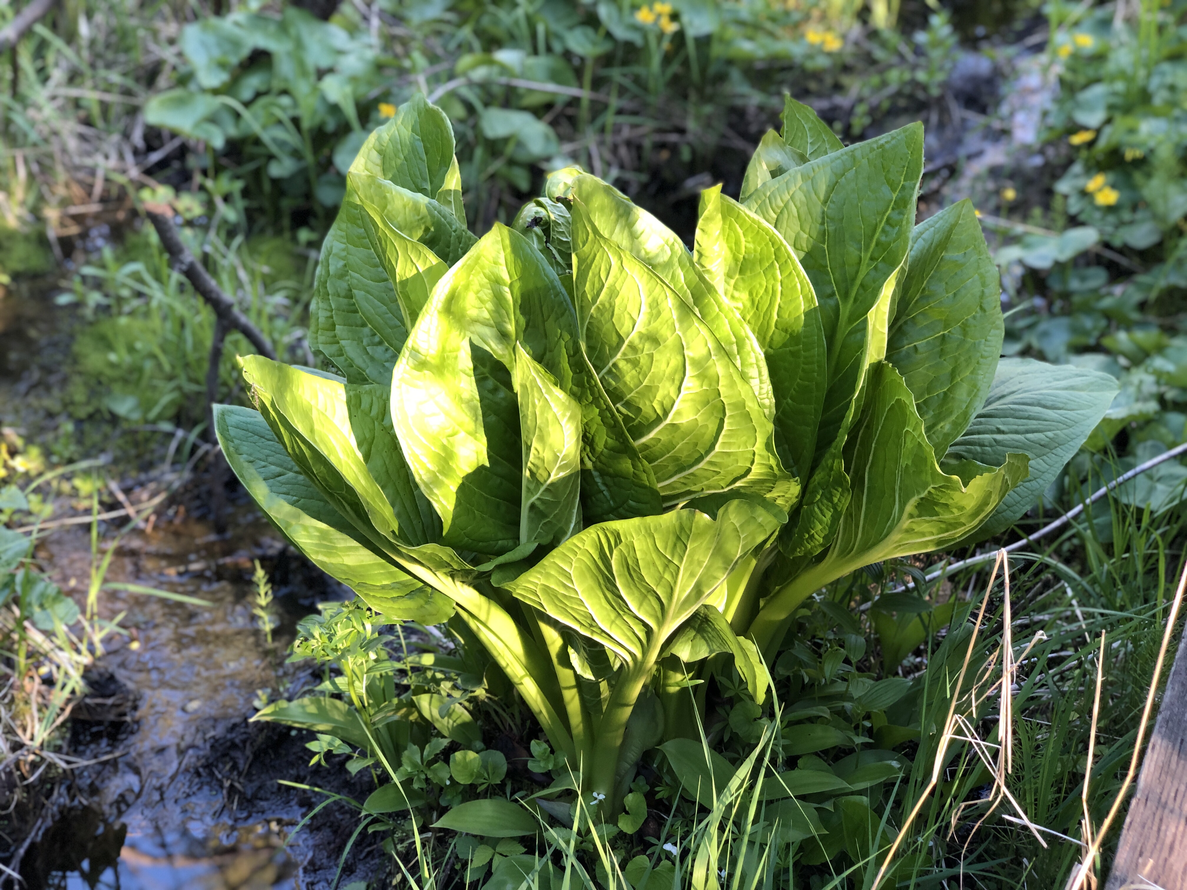


The spring plants are in full swing! Along the dirt trail and wooden boardwalks, we saw the familiar skunk cabbage, marsh marigolds, blueberry flowers, strawberry flowers, and raspberry bushes.

Three Mile Campground
Three Mile campground has 11 sites, including 8 shelters, which were all full since it was a holiday weekend and we had an afternoon flight. There were 2 sites left when we got to camp at 6:30.
The campground is popular since it is so close to Rock Harbor and has a one night limit. Campsite #3 was hard gravel and exposed. Campsite #2 had a better surface for tent stakes. #7 was right on the shore and the shelters looked cozy. This campsite has 5 privies-bring your own TP.
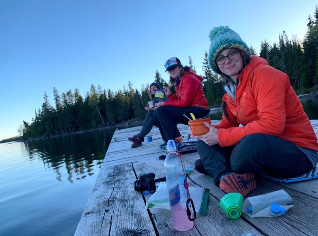
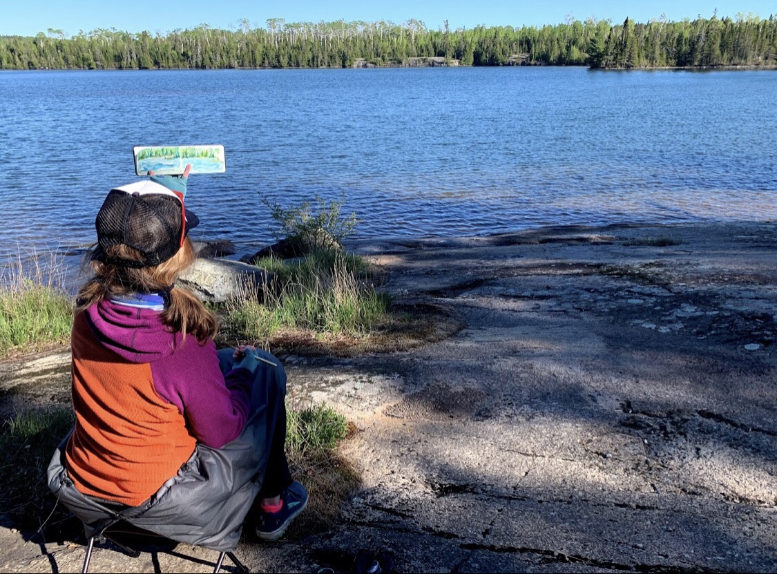
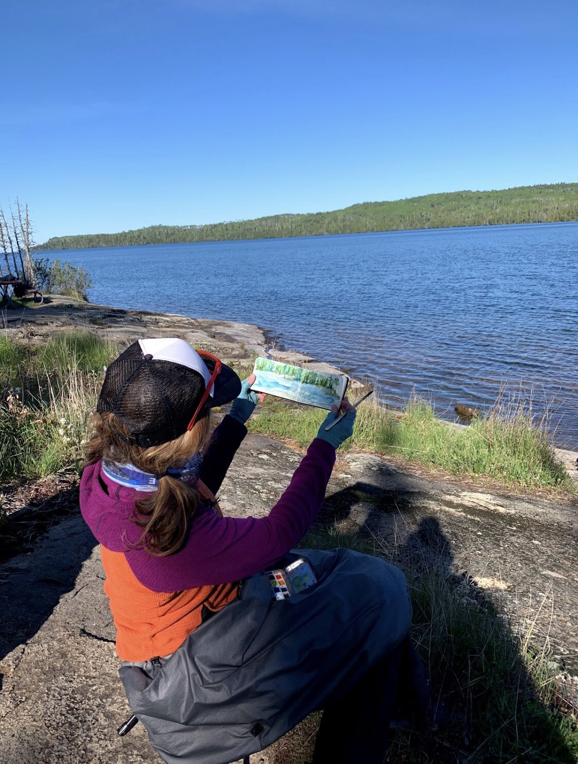
After setting up camp we enjoyed dinner and resting on the quiet dock.

I painted Mott Island with my field watercolor kit as my campmates read its history. The days are long up here and sunset came late. Glad I brought warm gear. Wish Id brought my gloves down to the lake, warmed up at camp and hunkered down to get a good nights rest as the cold, damp air rolled in. Went to sleep just before 10, felt like midnight. Tomorrow we break camp at 7:30 and meet Trail Mom!

Day 2: Three Mile to Moskey Basin | 8.33 miles
Loons are awake at 3:30 am, the birds at 4:15 am…natures alarm clock! I kept waking up wondering what time is was, since it always felt light outside! There was a persistent mechanical hum early in the morning, that we would later guess was the nearby Boreal Research Station or the Fishery.

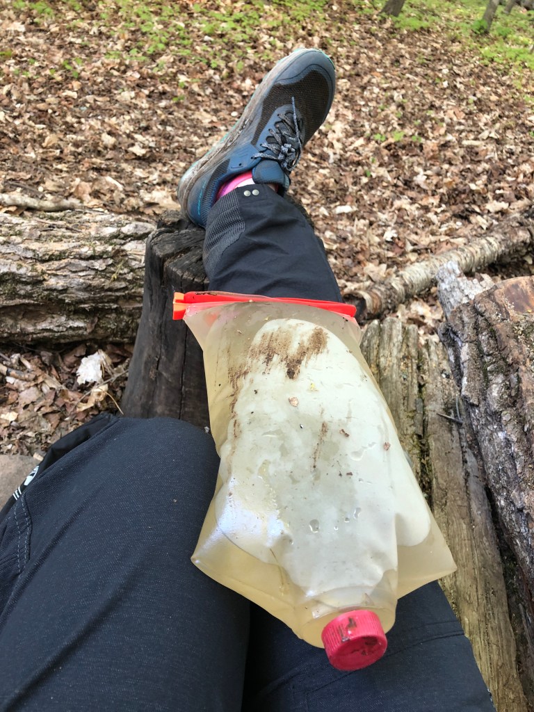
My thermometer says 58 degrees in the tent and 38 degrees outside, but I don’t believe it. The forecasted low was 37° and TinkleBelle awoke to discover that her water filter had frozen and she had chunks of ice on her tent! Here’s a friendly reminder to sleep with your filter when it’s cold – I totally forgot about that, but lucked out that mine stayed insulated in my pack. We all slept with our filters for the rest of the trip. The lake sites look beautiful, but we were glad to have a little more warmth and protection from the damp cold.
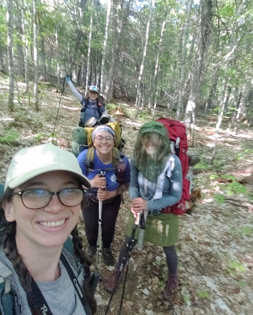
We had well fed gray jays and red squirrels visit us around breakfast time and hit the trail at at 8am with plans to meet our friend Trail Mom at Moskey Basin. She had already been on the island for 2 days and we were excited to see her! You may remember her from my Blue Map hike! Trail Mom rocks!
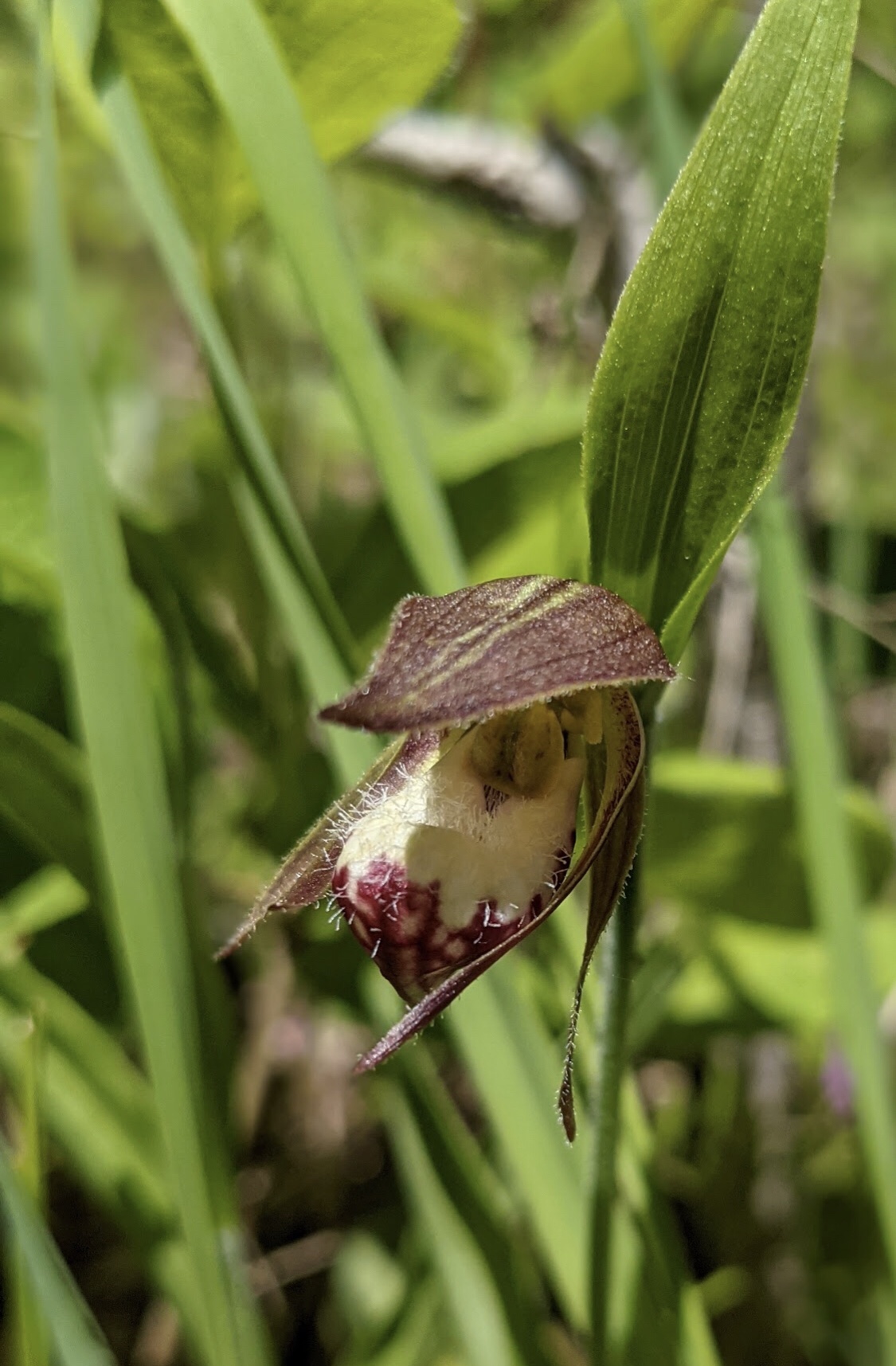
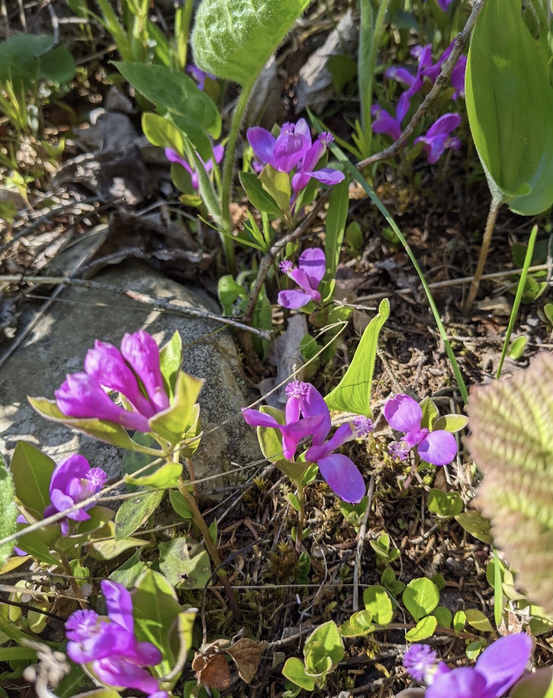
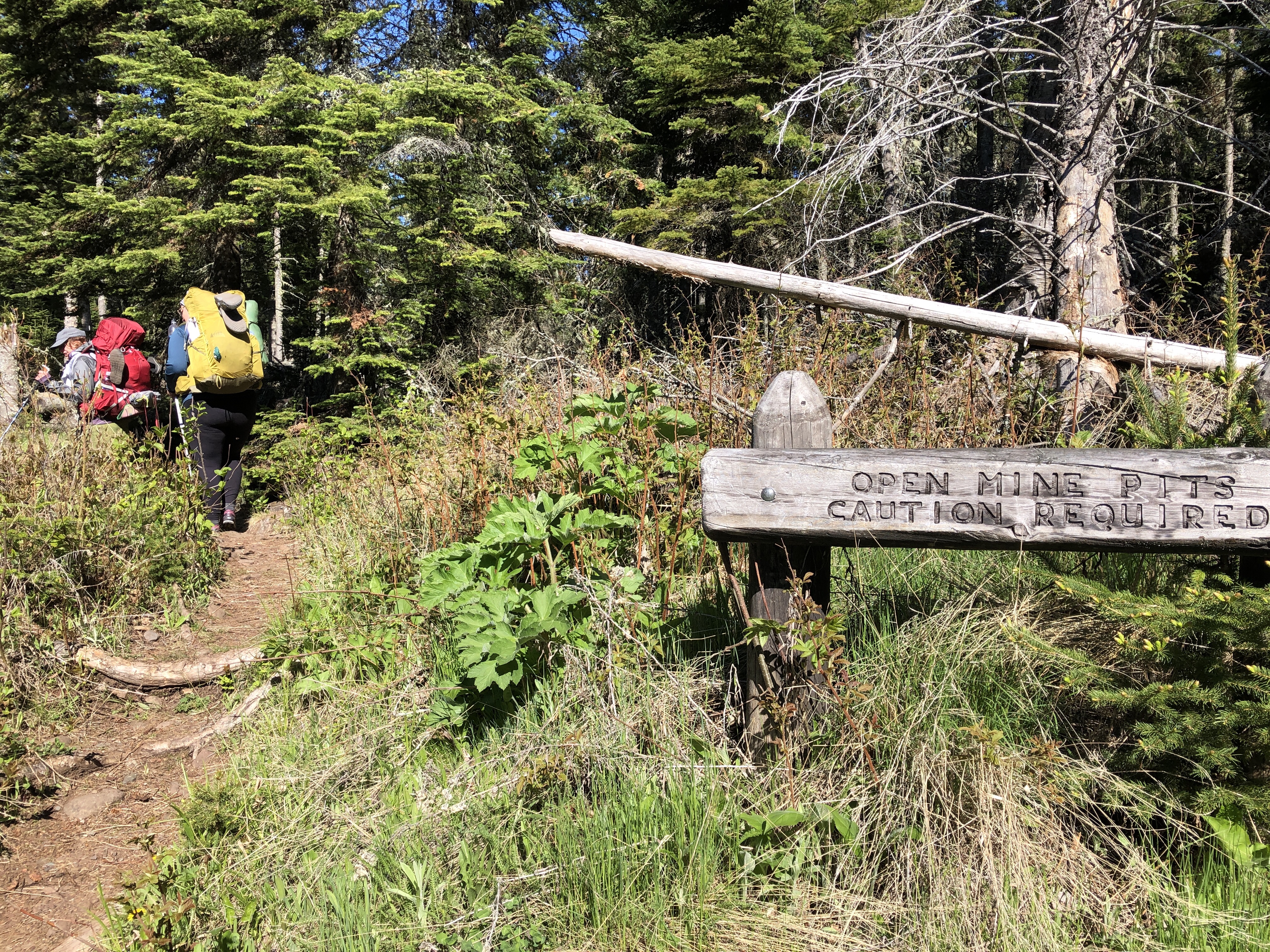
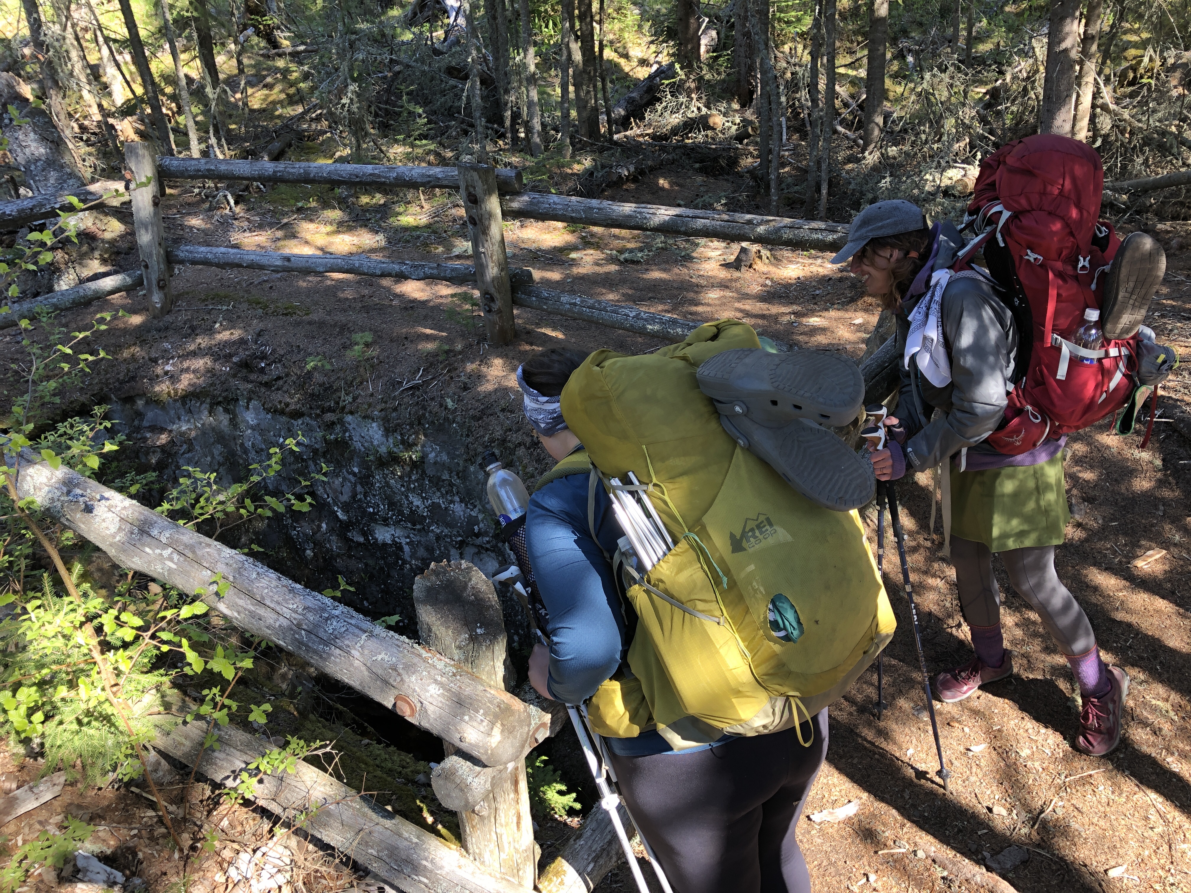
On our hike down the Rock Harbor Trail to Moskey, we saw Ram’s head Orchids, fringed polygala, loons, mines, blue butterflies, and more gray jays.

We stopped for our first break at a little clearing with a view of the lake. I painted another little painting of the fishery and we took our time getting to camp.


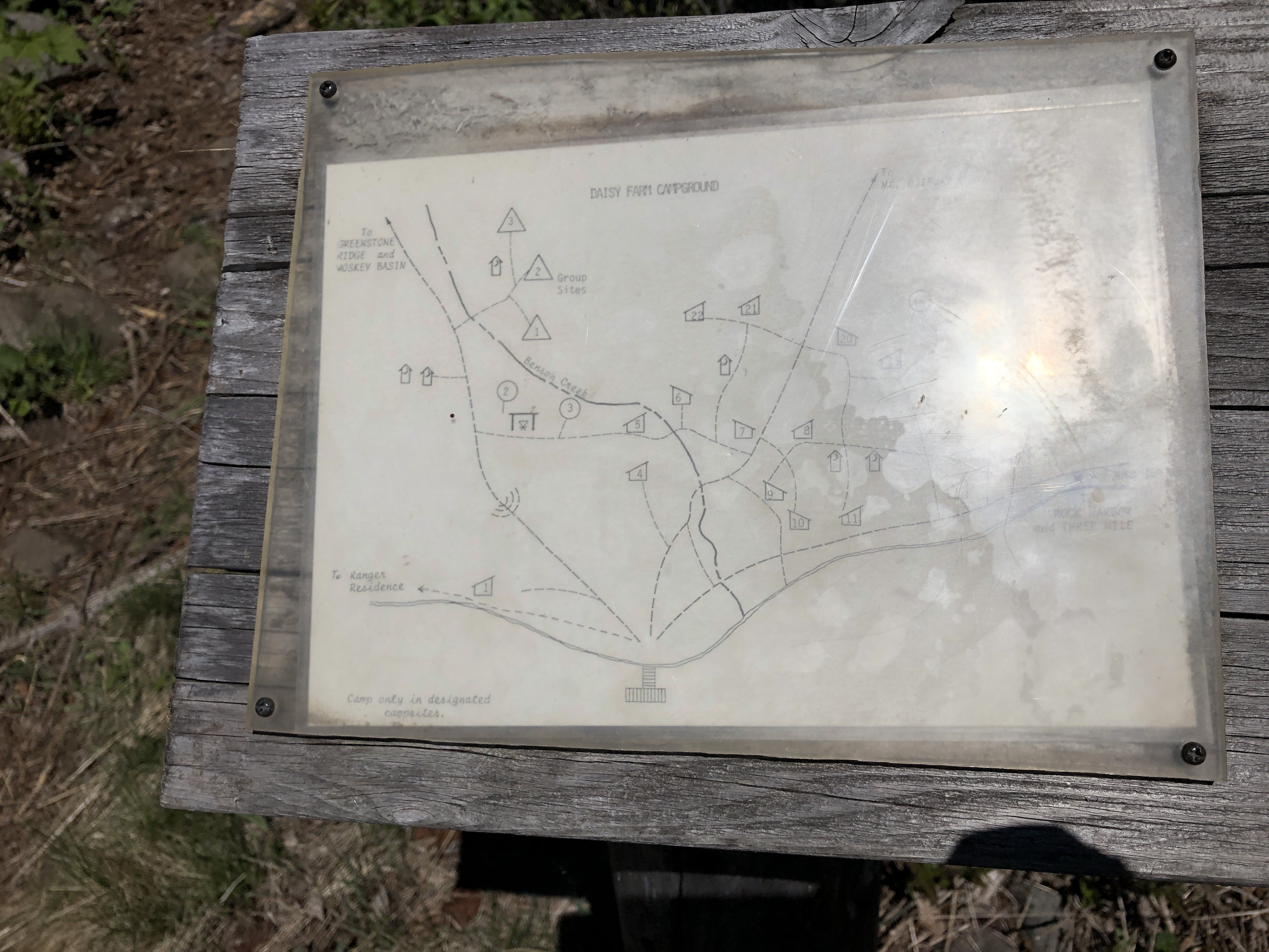
Our next stop was at Daisy Farm for lunch in a shelter. I ate quick and ran to the shore to paint the blue butterflies and pink orchids we’d seen that day. As I was painting, We met the duo behind the Old Time Hawkey videos. Prank recognized them and we had a fun time chatting before heading back on the trail. I make a little appearance in their Isle Royale adventure video if you want to check it out here . We also saw a couple in sea kayaks and thought that looked like a pretty cool way to see the island.
Daisy Farm has several trails that intersect and a big beaver dam that caused a flood/reroute, so watch for signs and make sure you’re on the right trail.
Moskey Basin
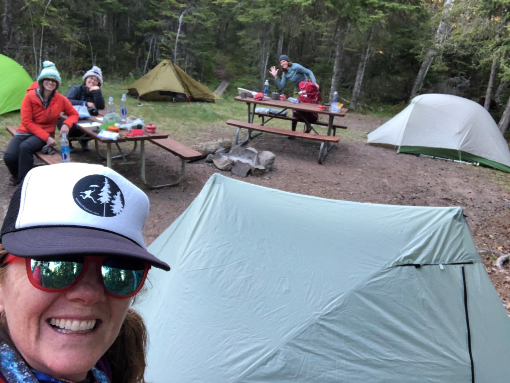
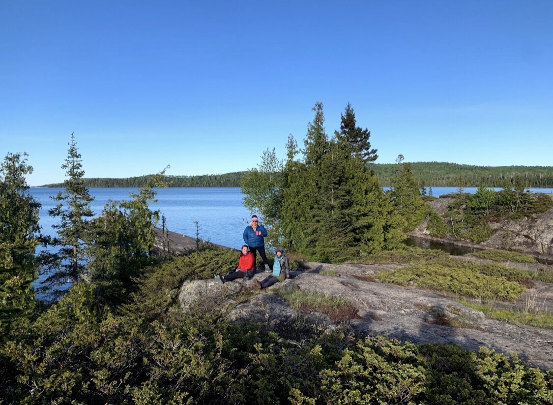
We rolled into camp at 5 and met Trail Mom at shelter #3! We were so glad she saved us a spot and the shelter was on a beautiful rock overlooking the basin.
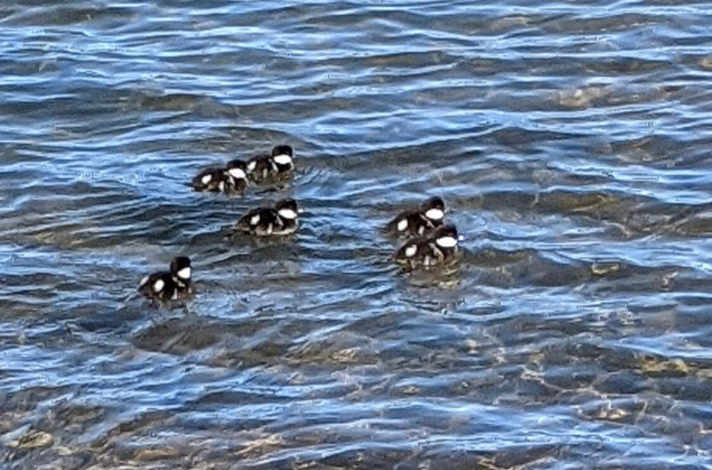
A pair of loons, geese and a family of baby ducks entertained us as they bobbed up and down, diving into the water to eat.

The kayakers from Daisy Farm camped in the shelter next door. We would find out that they drove all the way from North Carolina to paddle Isle Royale!


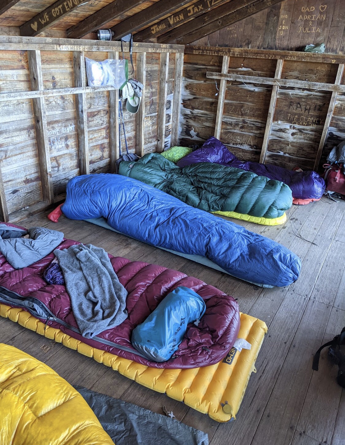

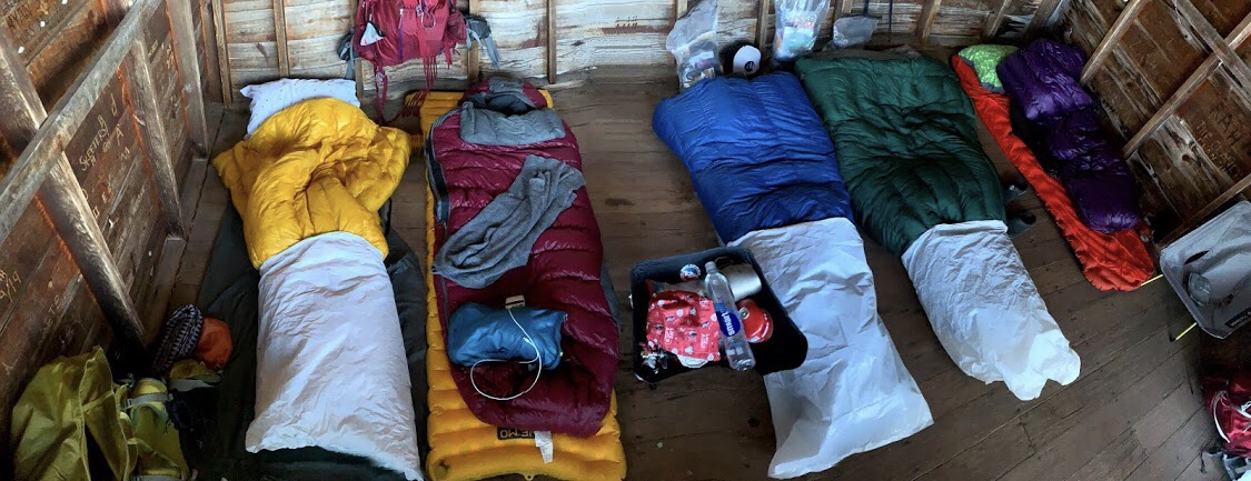
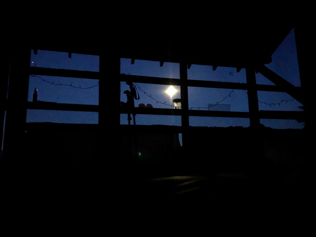
We set up our 5 beds in the shelter, hanging tarps, rain gear and packs over the bottom of the screen front, to block the cold wind. With our twinkle lights, it was quite the cozy abode!
We ate our dehydrated meals together, on the warm rocks did a little more painting and felt the cold air from Lake Superior roll in.
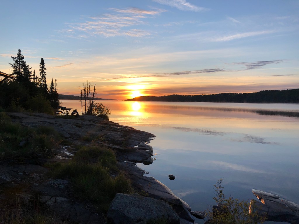
We walked down to the dock to watch the sunset and it was much warmer on that side. We laughed and enjoyed our reunion with Trail Mom, and I painted a little sketch of the squad to preserve the moment.


We didn’t last long once we got back to camp, it was getting cold and we were pretty tired.
Loons and a bright moon greeted us at 4am.
Day 3: Moskey Basin to Hatchet Lake | 13.56 miles
34 degrees outside, 40 in the shelter


We said goodbye to Trail Mom and headed out on our first long hike of the trip to Hatchet lake at 7:45 am. We kind of wanted to stay back and hike with her on this side of the island, but knew the plane would be picking us up at Windigo.
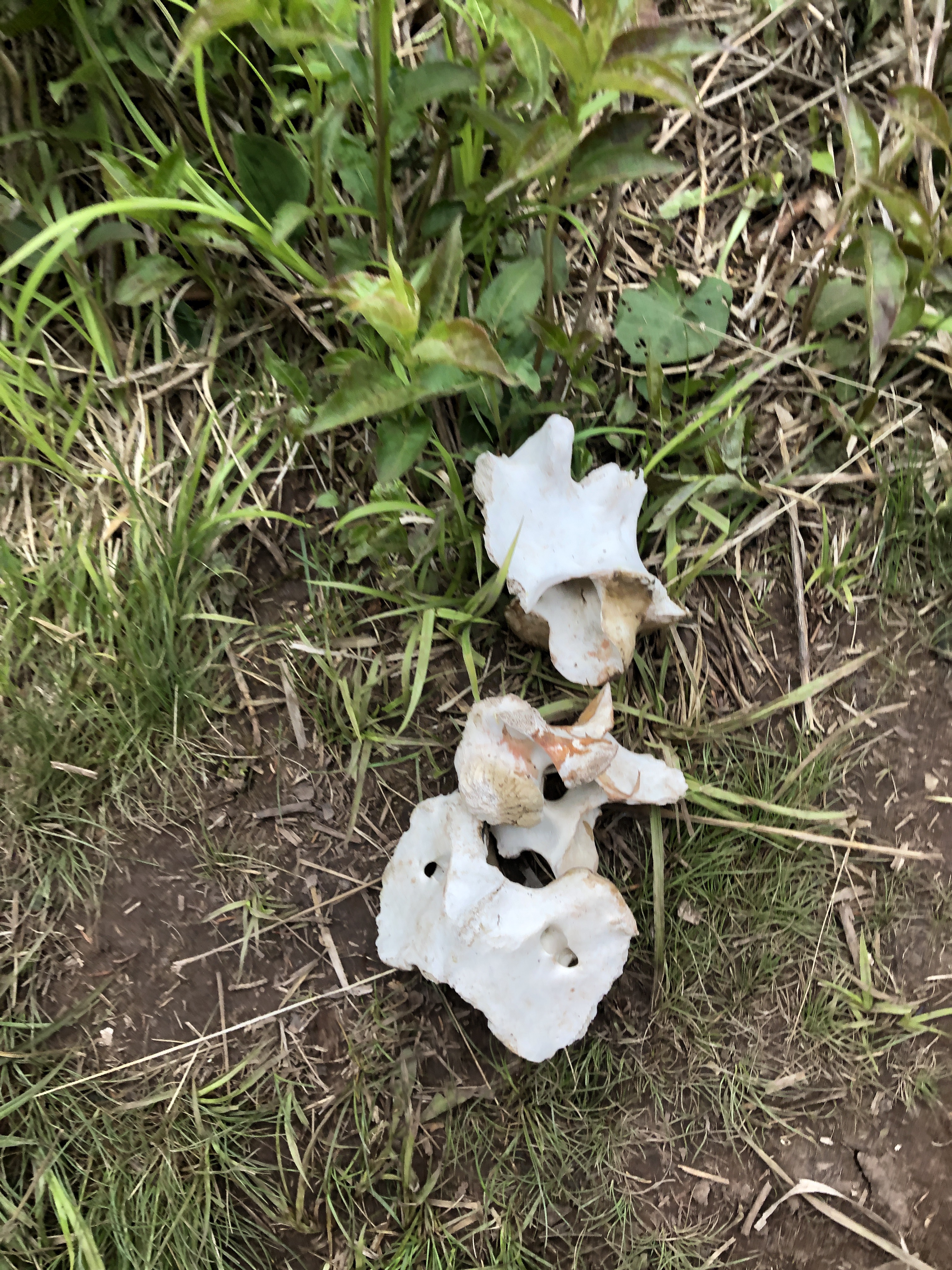

On our hike to Lake Ritchie, we found a set of moose bones. Lots of bones and poop, but no moose sightings yet. As we connected to the Greenstone Trail, we found more elevation and a couple of switchbacks. It was cloudy today and started to rain during a long climb up. Out of habit, I put all of my gear on thinking we were going o get a downpour, had to shed it at the top because it was too hot to wear. Luckily that light, short shower was all we got on the trip and we were able to see some nice views at the top.
On the portage up to Lake Livermore we found a solo paddler resting with his canoe! This was a beast of a hill to haul a canoe up and down and he gave us some tips on campsite conditions and views. He caught up to us as we filtered water at the lake and we talked some more about the many solo trips he’d taken to the Isle! This was the last good water source we had until Hatchet Lake. Before your trip, it is advised to check with the ranger on water sources and conditions on the inland sections and make sure you have supplies to both filter and chemically treat, or boil for a full minute.
High Points, Low Points and Goshawk Protection Mode
We followed the trail up and down until we reached Mt Siskiwit. A little further South, we found a good spot to stop for lunch and met a Father and Daughter that were spending 12 days on the island and brought all of their food! I wanted to ask them more questions, but we knew this would be a long day and kept moving on.
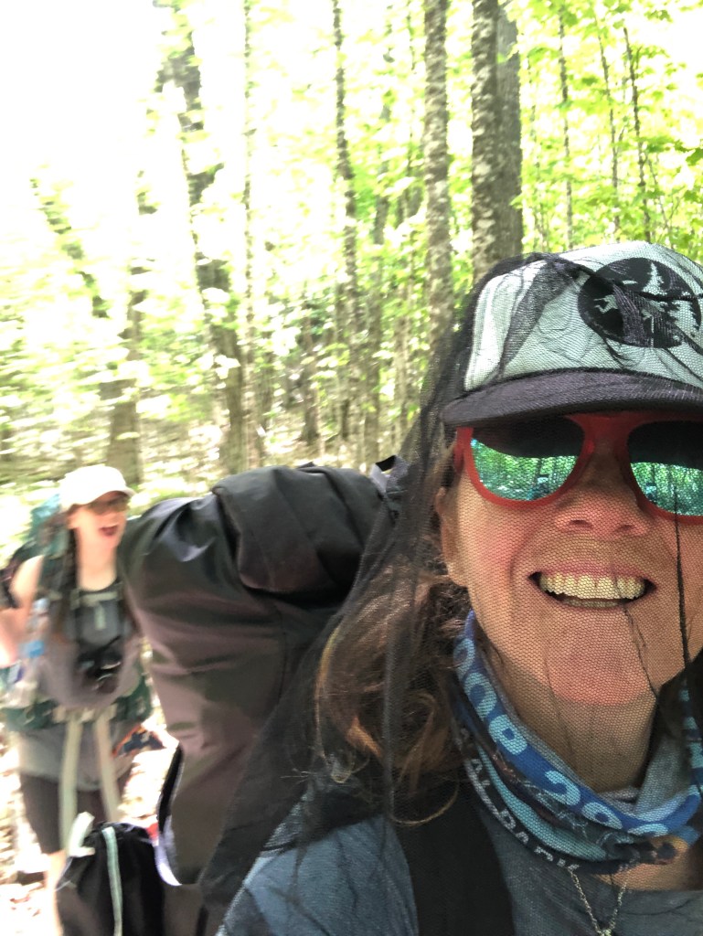
Preparing for Goshawk protection mode, we had our hoods up, eyes open and didn’t linger around. There was no way we were going to lift our heavy packs over our heads for these miles… No Goshawk was to be found, but a couple of miles after Siskiwit, we saw a MOOSE! She was a distance away, chomping on leaves, keeping a close eye on us. We stopped, gave her space and were amazed at how big she was! She looked right at us, and trotted off on her way, and we were thankful to have been able to see her safely. First moose, yay!


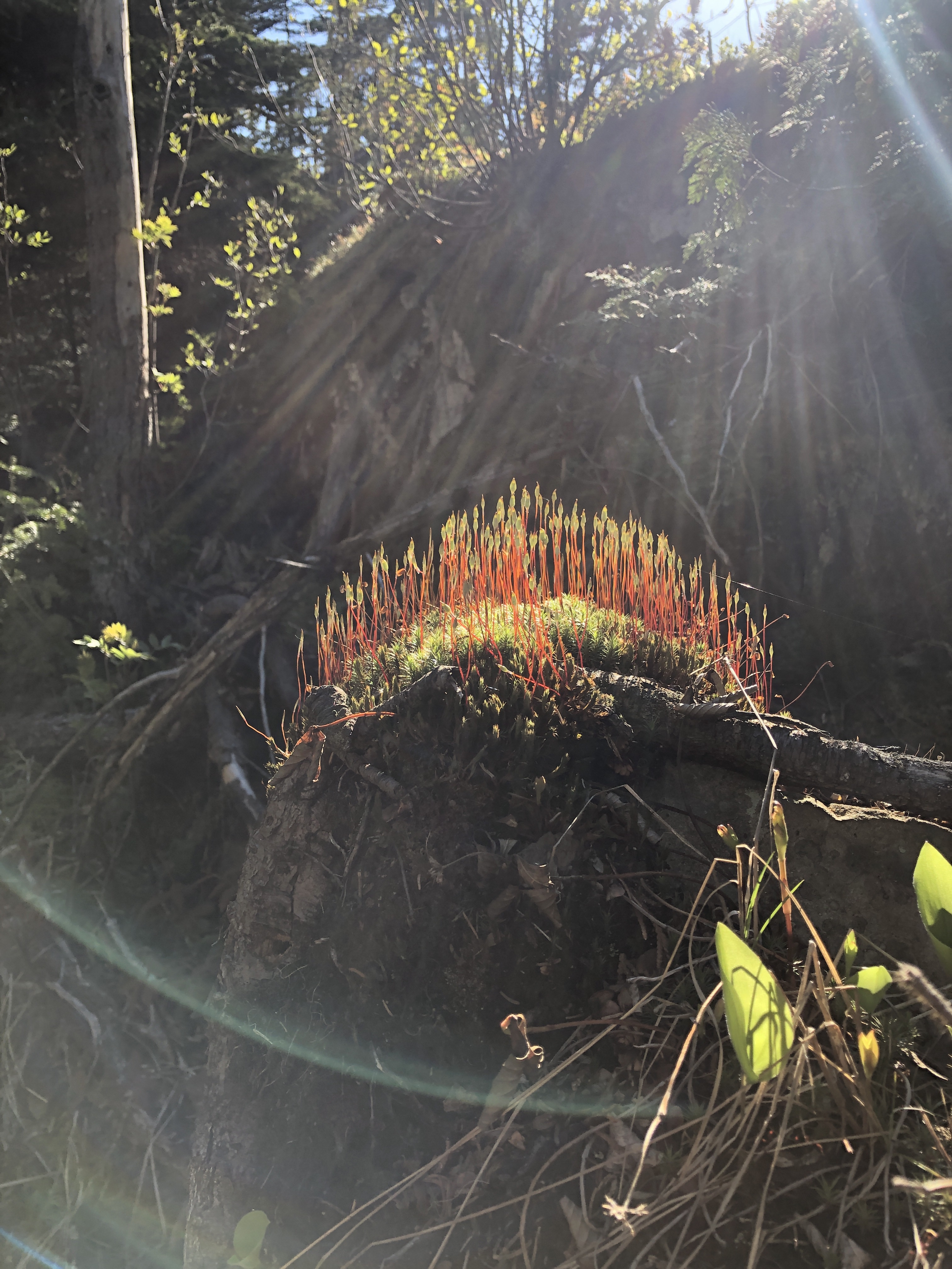
There were more clusters of my favorite Ram’s Head Lady Slippers and several new flowers that we hadn’t seen in the lower, coastal side of the trail.
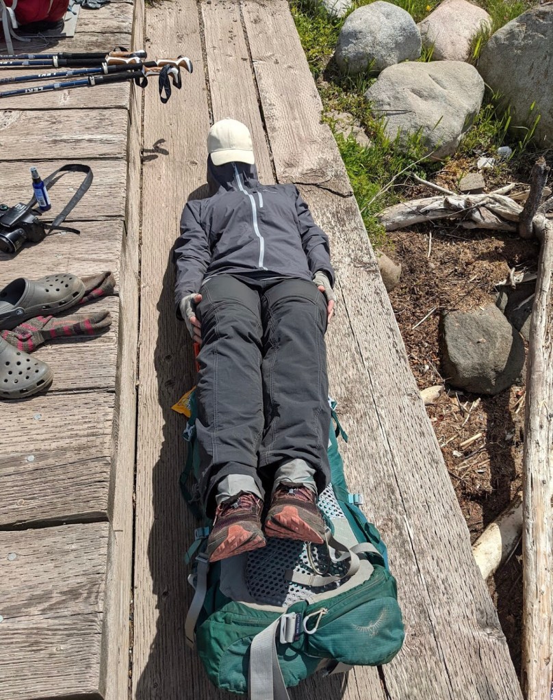
Everyone is a little tired and emotionally worn out today after a long muddy hike with hills and increasing temps. Just gotta keep moving forward. The spur to Hatchet lake is supposed to be around .5 miles, but it is a very steep climb down, our moods and tired bodies made it feel like miles!
We got to camp at 4pm and there were only 2 sites left. Site #2 had a good breeze off the lake that kept the mosquitos down and we were glad to settle in for the night.

I have not been enjoying my dinners the last couple of nights and ended up packing about half of tonight’s out. Part of it might be from being tired, but I also typically make my own meals and lean towards comfort food. Missing my taco in a bag, chili mac and black bean sweet potato with fritos…must. have. comfort. food.
Tired. Wanted to go to bed at 7, made myself stay up til 9
My Garmin InReach is still at 53% tracking every 30 minutes since Friday. My phone still has about 25% in airplane mode. My go pro has been staying charged. Still has 25% at end of each day. Brought (2) Anker power bricks, definitely only needed one.
Day 4: Hatchet Lake to Island Mine | 14.7 miles
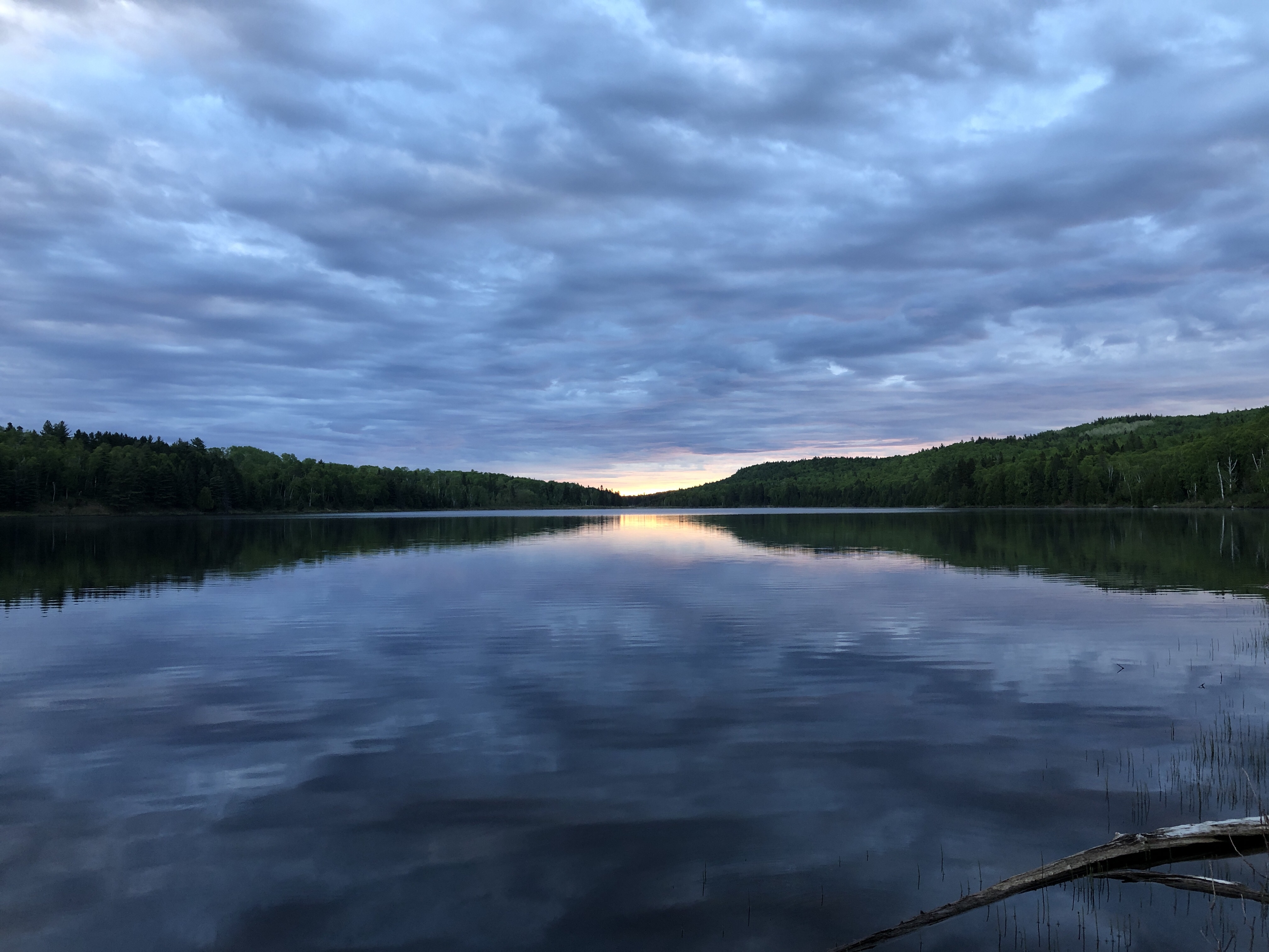
Woke up to loons calling in the middle of the night again, and then up at sunrise.
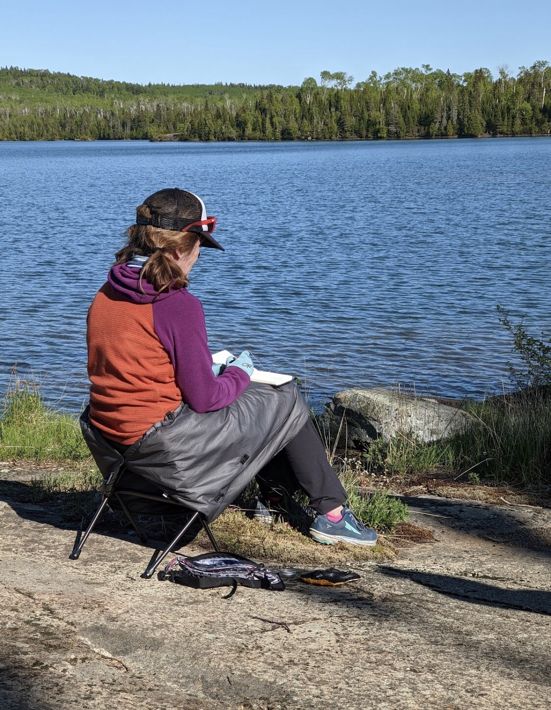
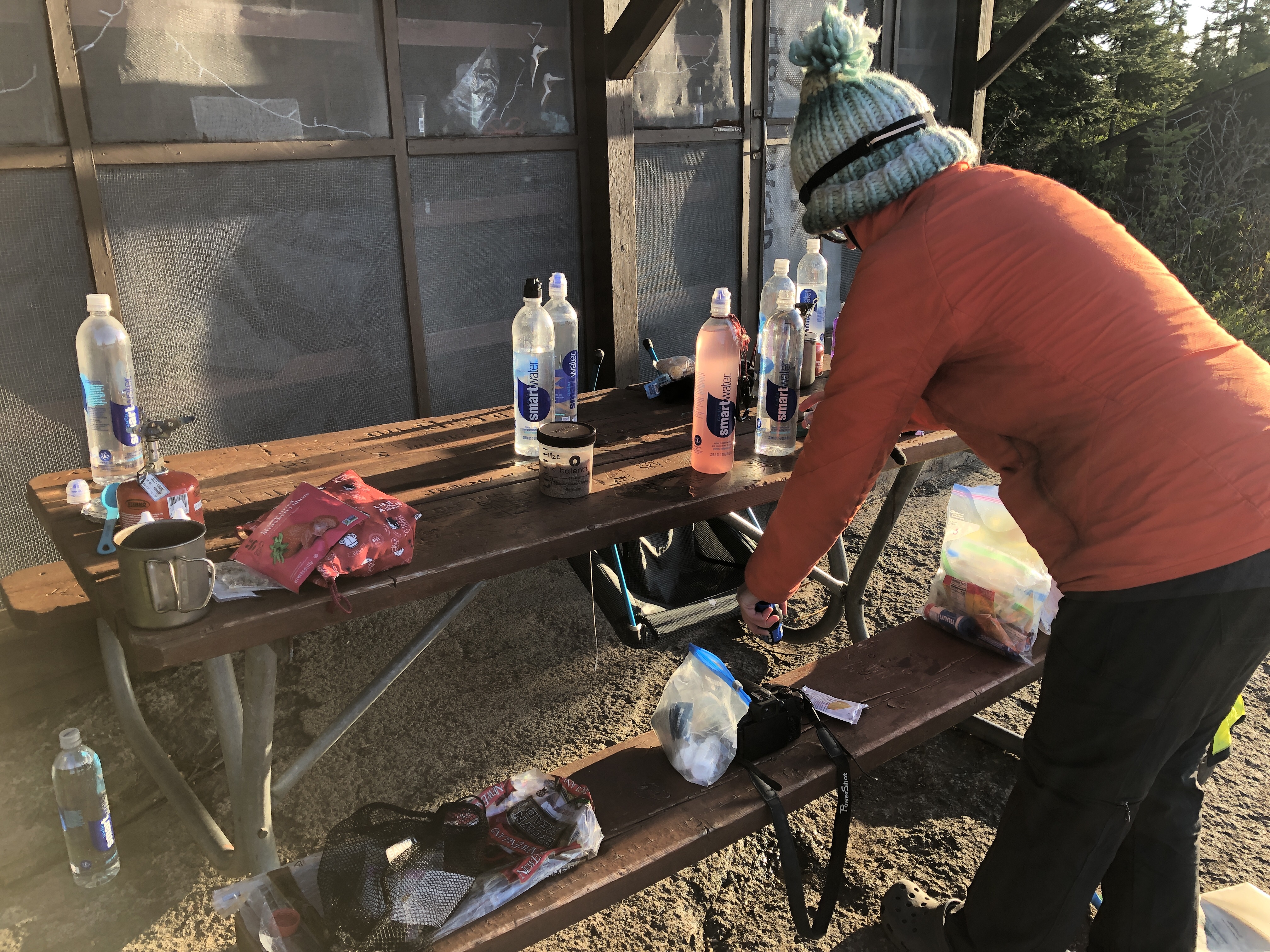
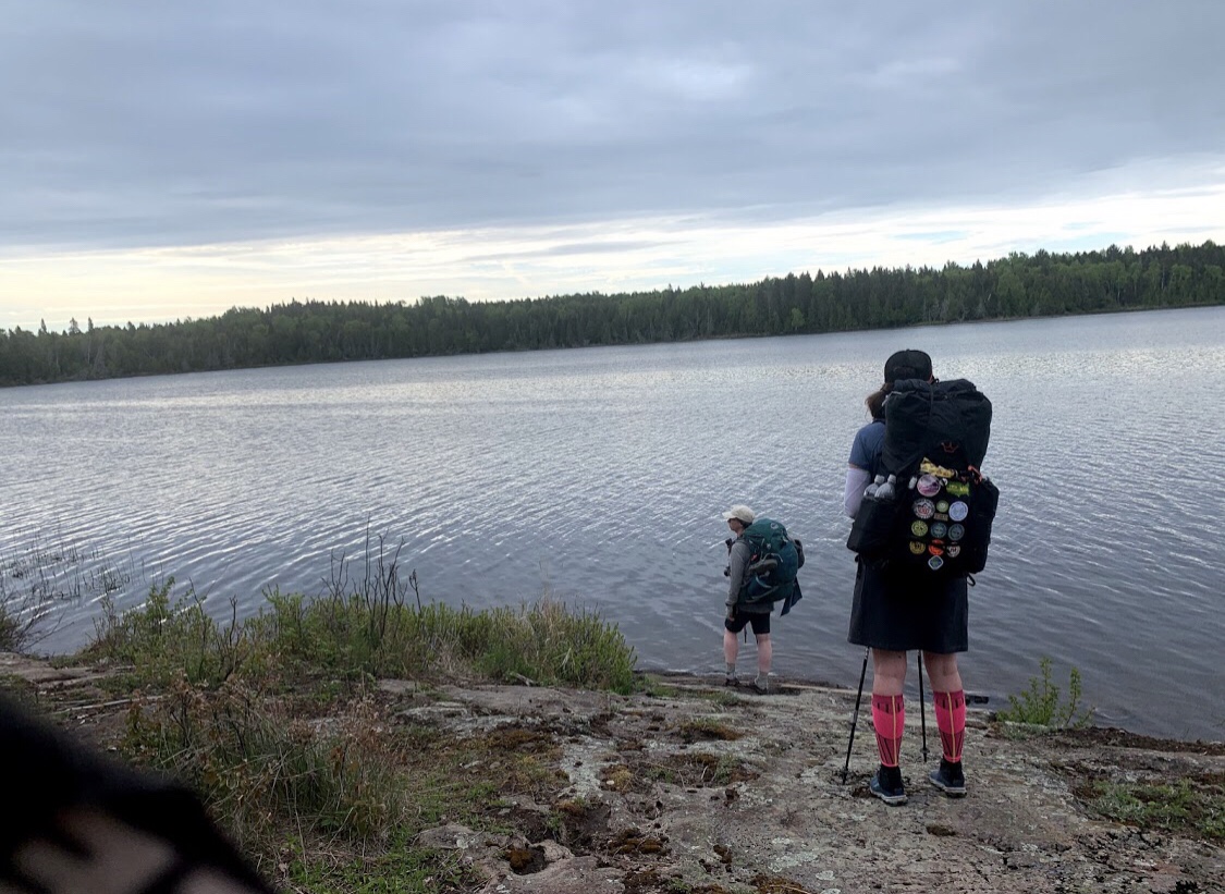
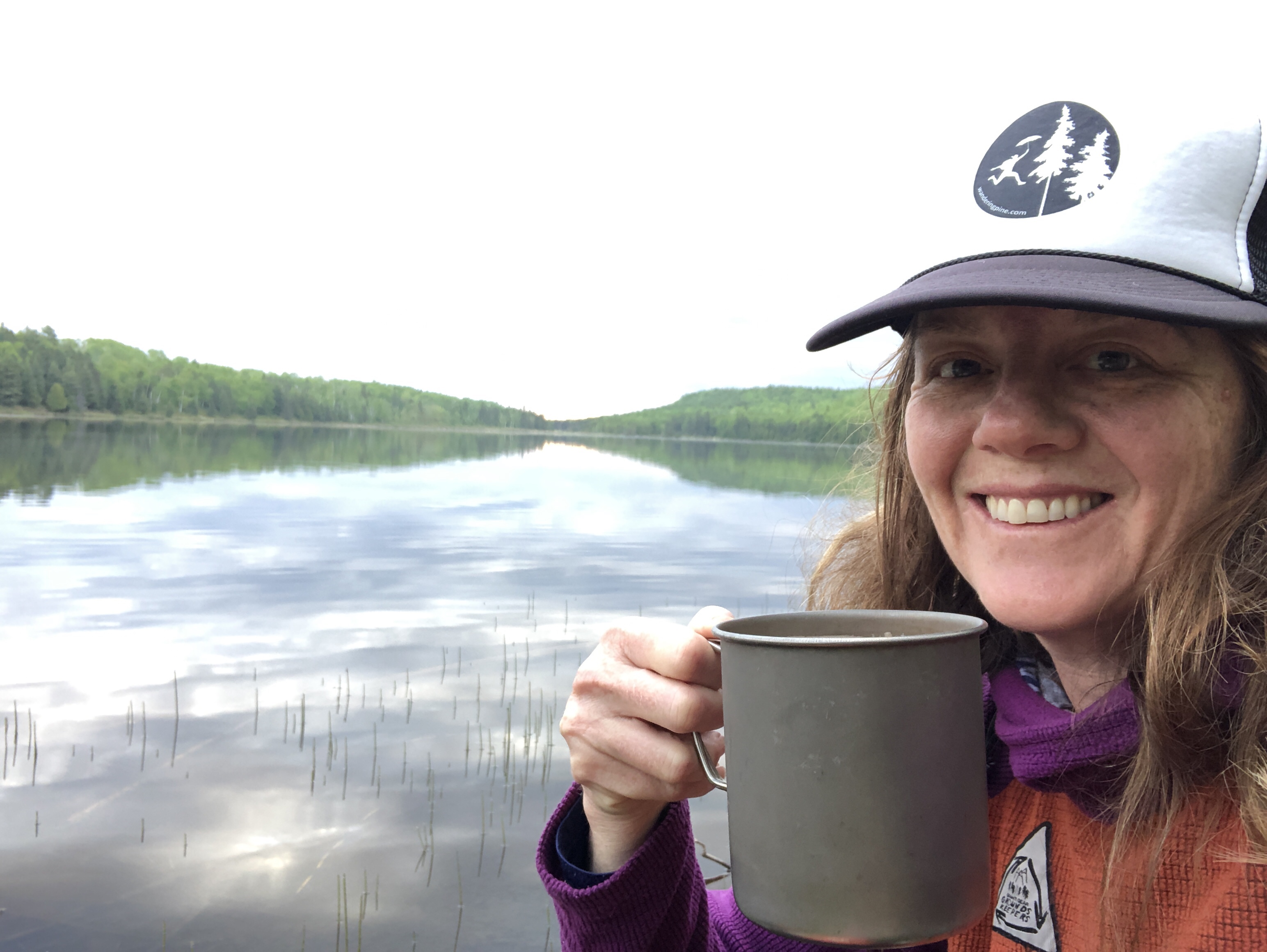
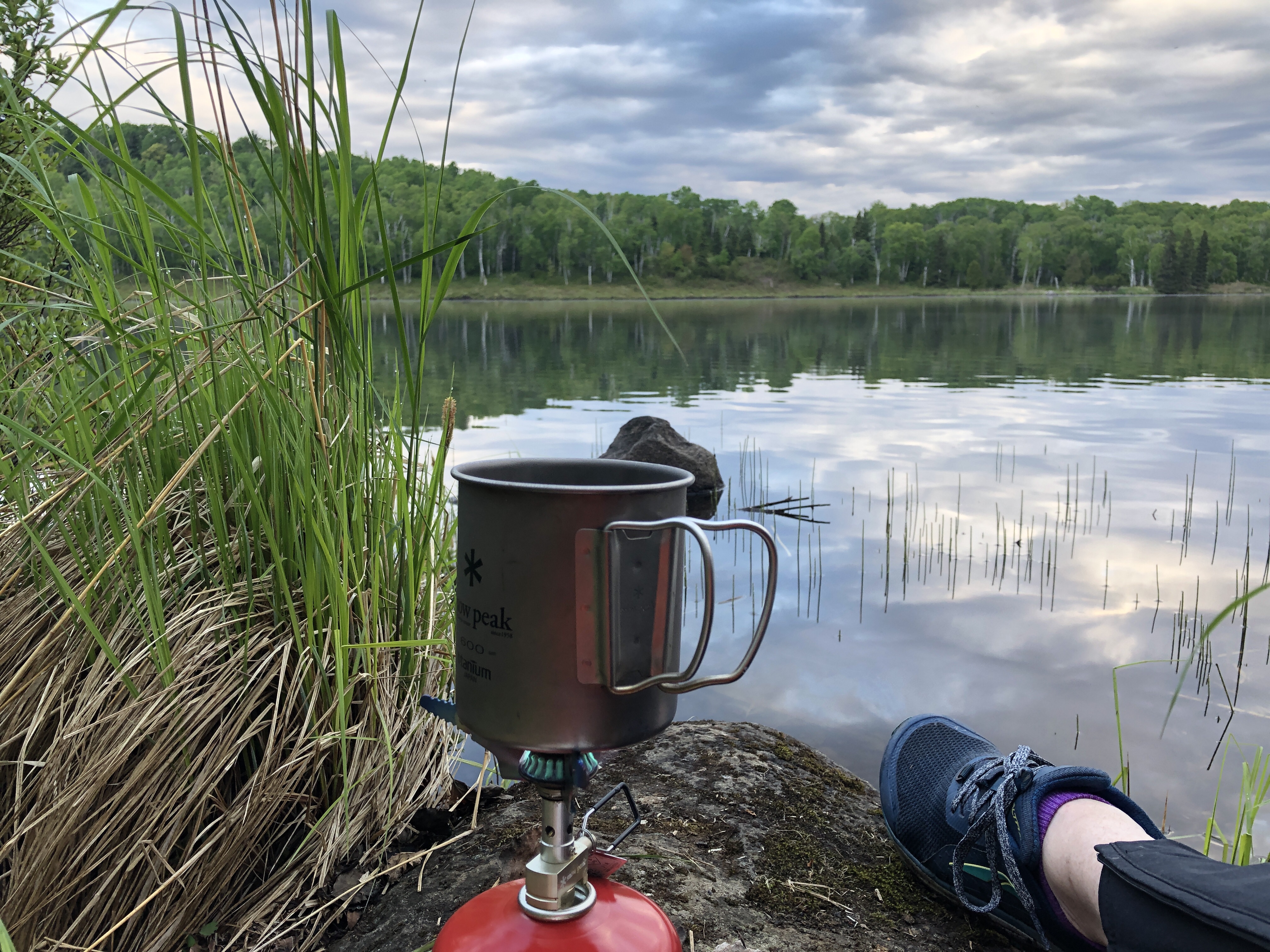
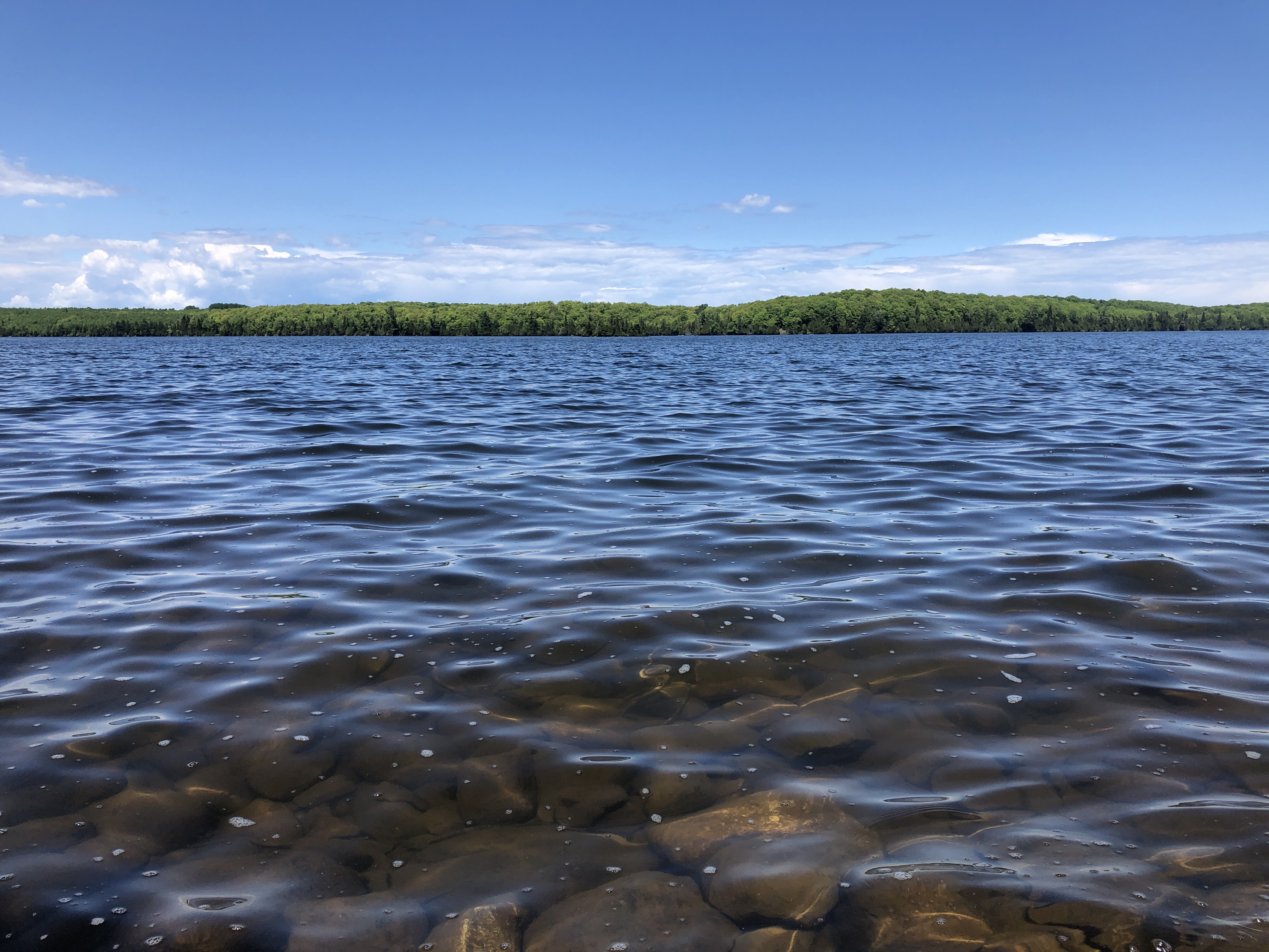
I got dressed quick and brought my water filter, bottles, stove, coffee, oatmeal and watercolor kit down to the shore and spent the morning with Hatchet Lake.
We all hauled 3L of water today, hearing that there were limited water sources on the way to Island Mine. We probably could have hauled 2, to Lake Desor, but it was getting warm and we wanted to make sure we had enough. After Lake Desor, we found a few unreliable water sources, check with the rangers as there may not be water available in the summer between Lake Desor and Island Mine.


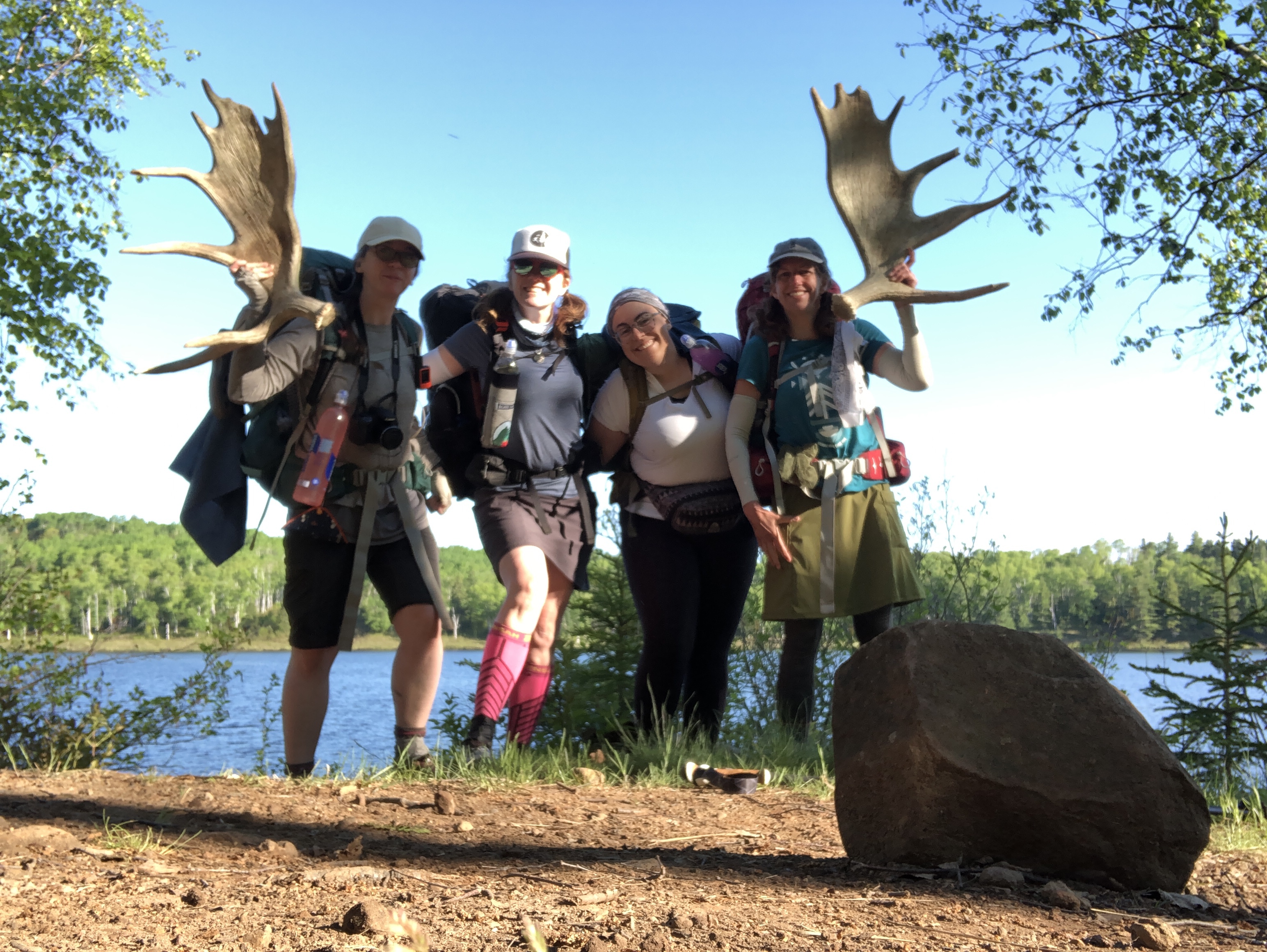
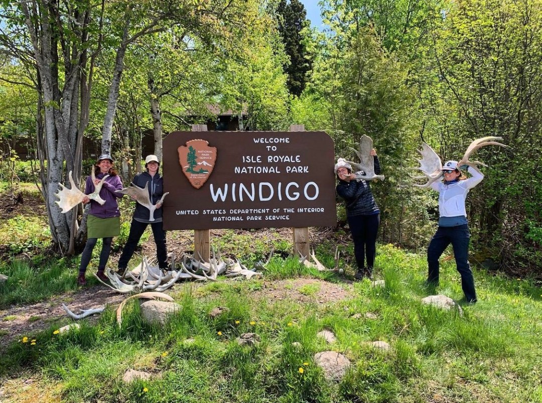
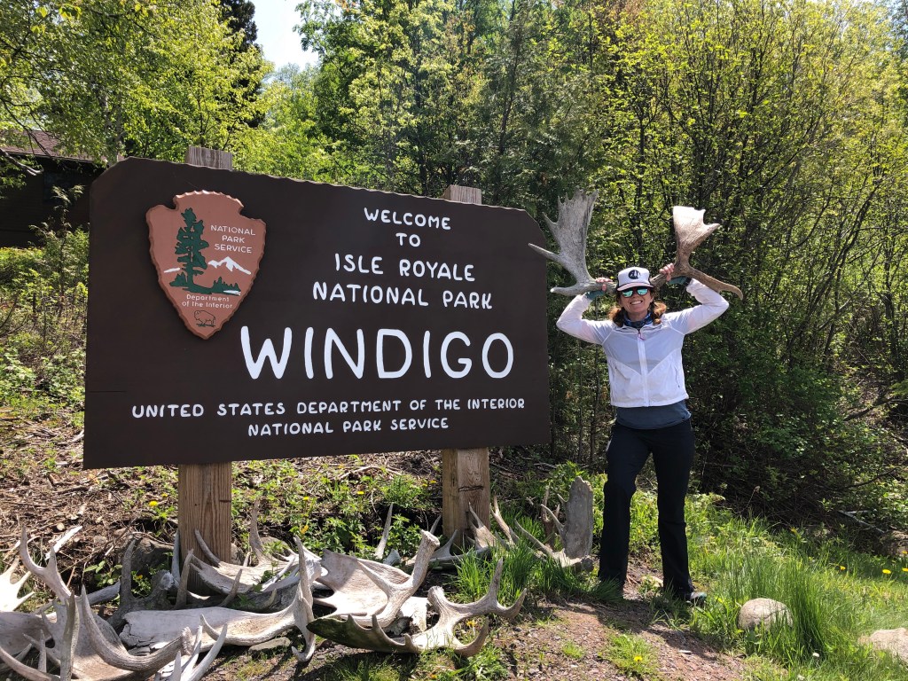
We packed up and left camp by 7am and stopped for a quick photo op with moose antlers at the campground sign before hauling up the big spur hill to connect with the Greenstone. The first mile out of camp is a steep climb, followed by another climb and then views of Lake Superior and Canada.
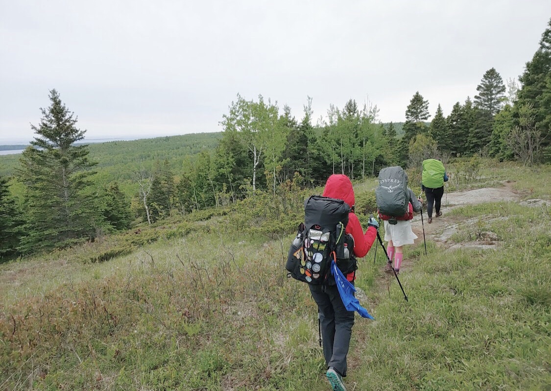
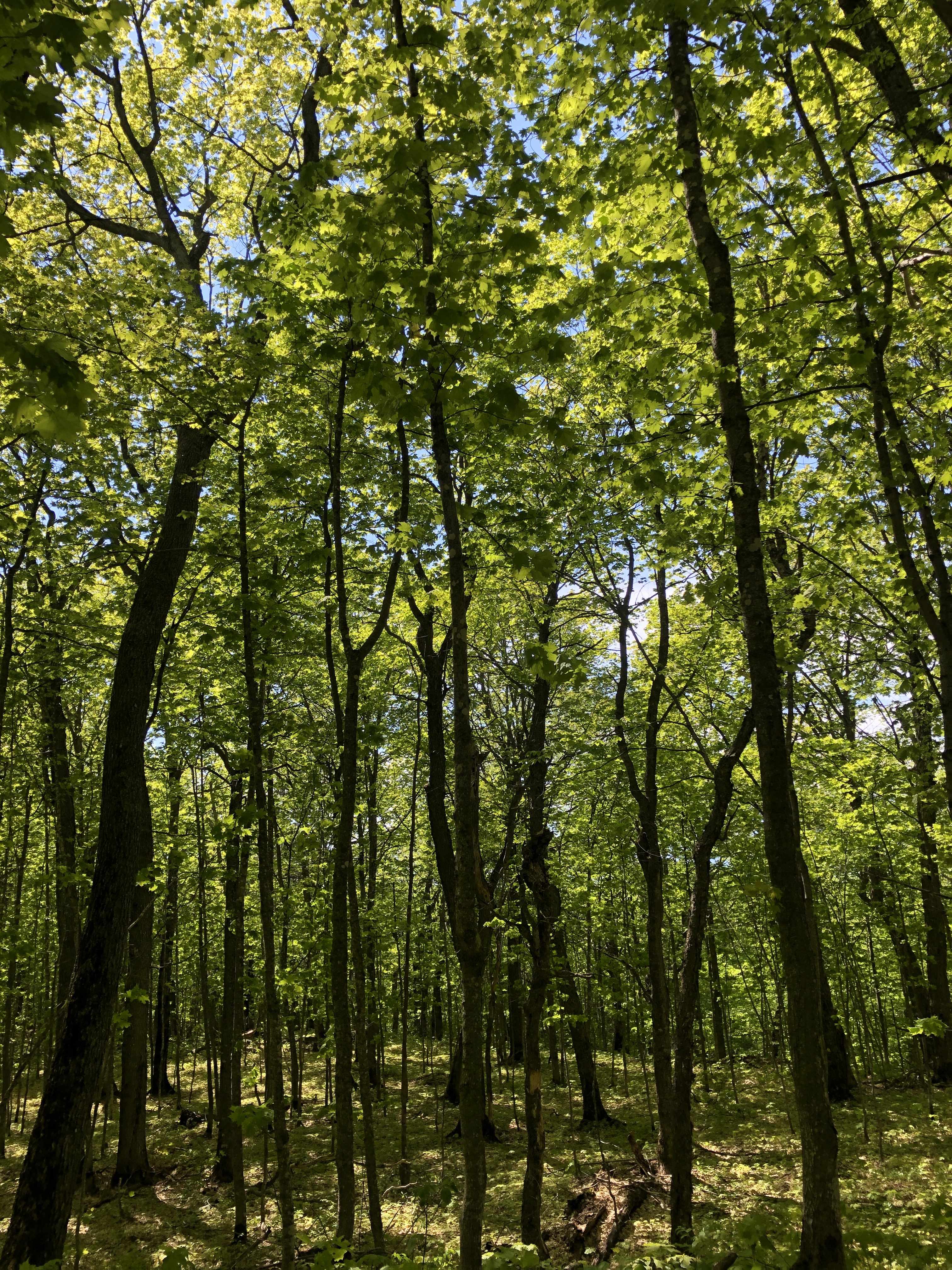
The views on the Greenstone are more obscured by trees than the coastal trails. I think we were able to see more this time of year since the forest canopy is still filling in. When I was here last, in July, it was like hiking in a green tunnel.
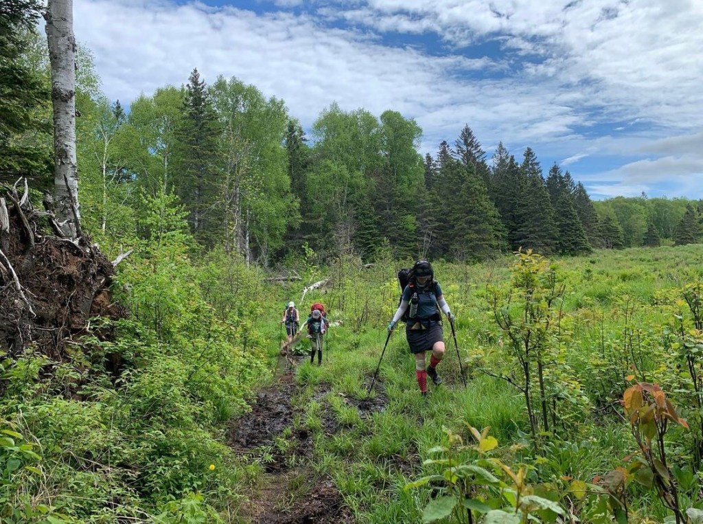
Mud Mud Mud
This section of the trail had a lot of mud, but we all still thought it was better than the mud we’ve hiked through on the Superior Hiking Trail. I was talking about how much better it was than SHT mud, when I slipped and fell hard on mile 3, twisting my knee while crossing a big section of it. Mud everywhere, patched it up with an ace bandage at the Ispheming Point fire tower and hiked 10 – 11 more miles. The fire tower was closed when we were there and is shorter than most fire towers I’ve seen. Sounds like it used to be on a bald that provided a clear view of the island, but now it is obscured by overgrown trees.
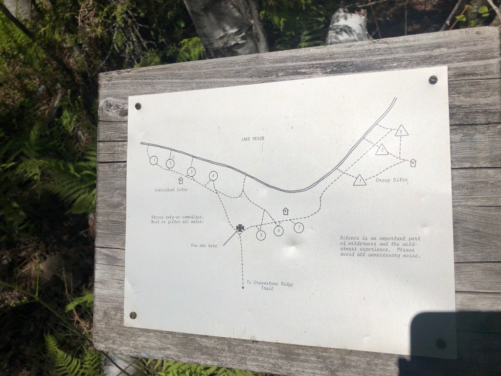
Lake Desor Campsite was our lunch spot. It has another very long spur, but good water access.
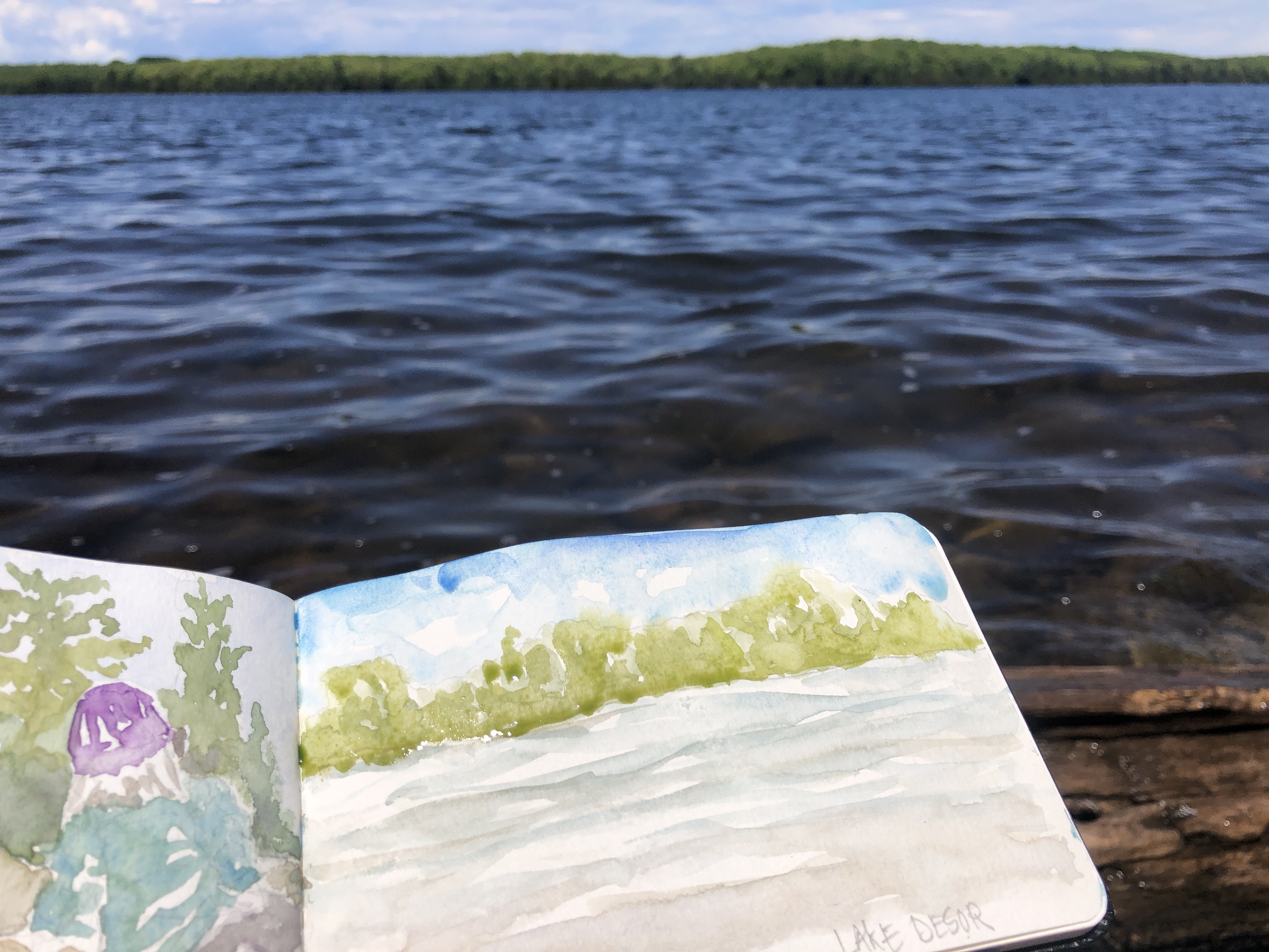

We stopped at campsite #4 for a full hour lunch and I headed down the muddy trail to paint the shoreline. Our friends that had just been to the island, said that there were an unusual amount of slugs at this campsite…so, FYI.
There’s a nice last peek at Canada between the trees right after Lake Desor. We hiked onward to the highest point on the island, Mt Desor, but like Ispheming Point, there is no view due to thick vegetation. The large boulders made for a good place to stop for a quick break. I’m feeling my knee, but it feels better to hike on it than sit and let it stiffen up. My ace bandage needed to be re adjusted so often, that I just pulled up my calf compression sleeve over my knee at this point – this felt better and provided more support.
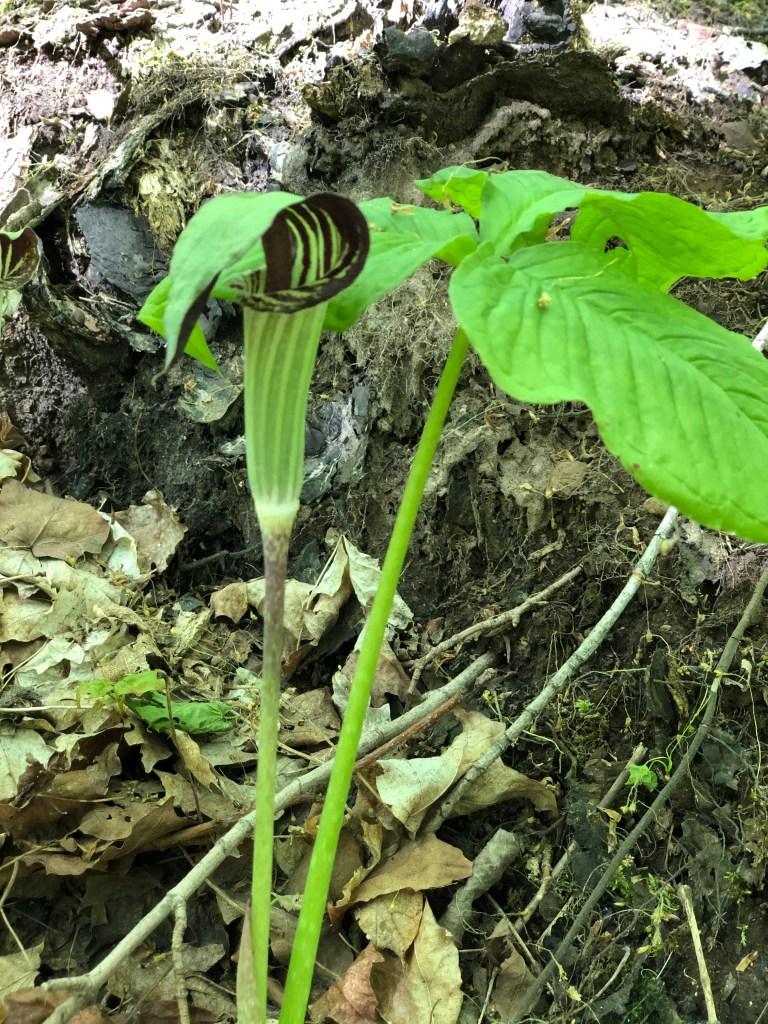
We saw more forest flowers, including a striped Jack in the pulpit, goldthread, hepatica, rock clematis and maidenhair hair fern. There were also many more steep climbs and blowdowns to navigate in this section right before Island Mine.
Island Mine

The Spur to Island mine is a long downhill with a good water source with a bridge right before you hit the campsites. There is another small creek that may or may not be running near campsite 1 & 2 that I remembered from the last time that we were here.


We didn’t stop to explore any of the abandoned mines, we were all pretty tired when we got to camp. Site #1 had room for all of us to spread out and was a bit closer to the privy and secondary water source. We didn’t feel like walking any further than we needed to. Unlike the other campsites on a holiday weekend, we only saw one other camper in this spot.
The bugs are heaviest in this inland site, due to its lush, enclosed location, but they were manageable with repellant and head nets.

I made a quick gear video as I unpacked my bag or the last night. I don’t typically do those, so it was kind of fun to share what I brought and what I would leave at home next time in real time on the trail.
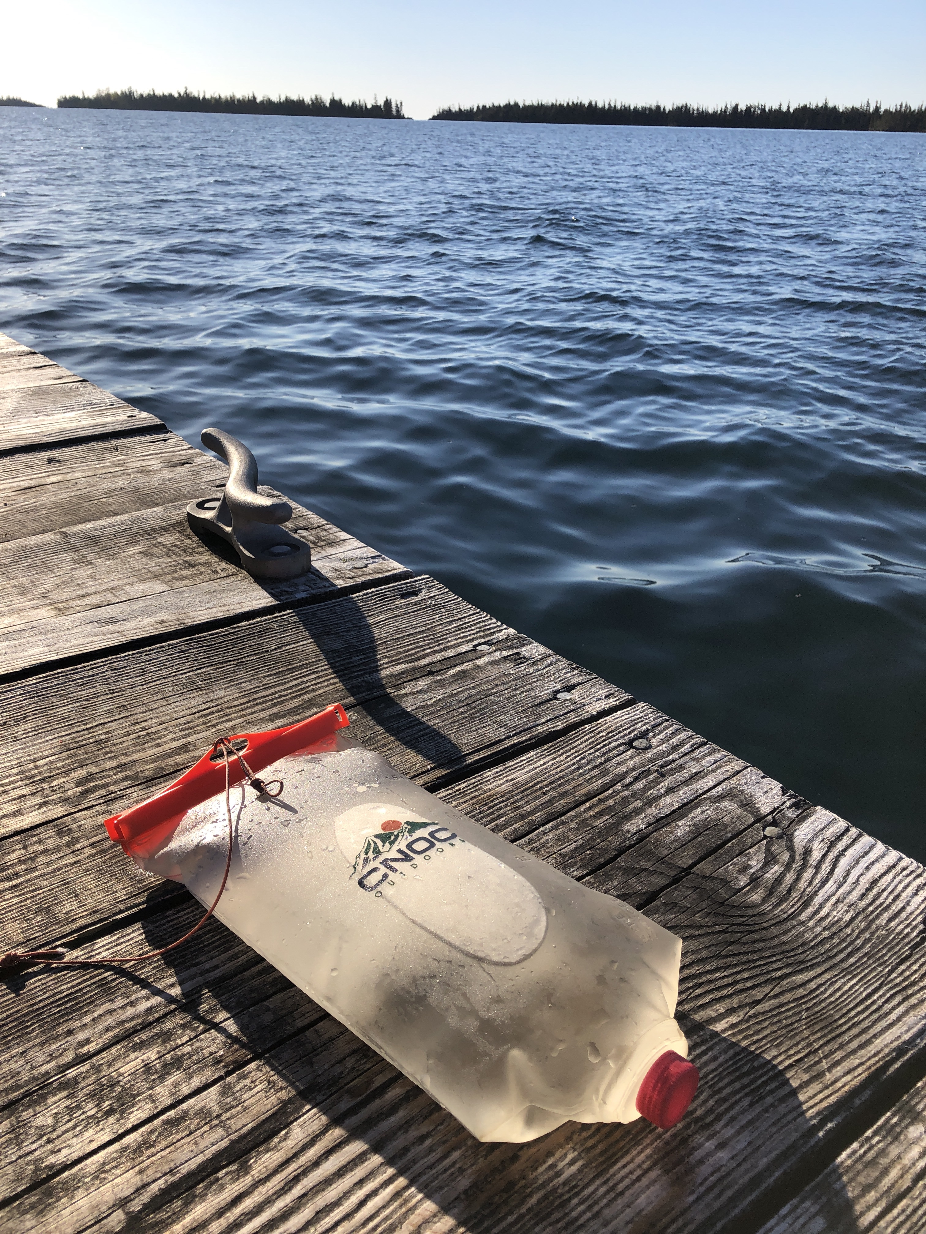
After setting up camp, ‘the goat’ graciously offered to run down and fill up my CNOC bag with cold creek water to use as an ice/cool pack for my knee.
Prank gave me some delicious cheese to add to my emergency bag of ramen and I skipped my planned healthy dinner. It totally hit the spot! Thanks Prankie!
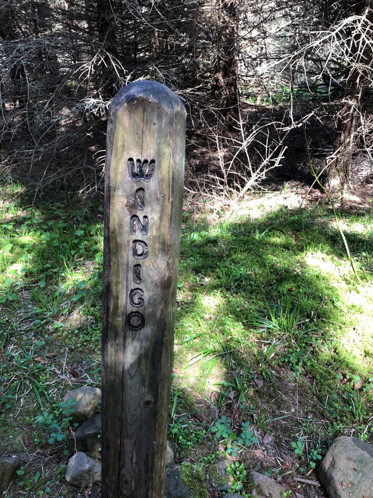
Day 5: Island Mine to Windigo | 7.05 miles
At the Goat’s suggestion, I slept with my knee elevated on my pack and some extra clothes, hoping it would help with the final hike out to Windigo in the morning. We left camp at 7:15, and headed back up the long hill to the Greenstone. This section had some short ups and downs, thick wooded trails, a few blowdowns and of course…mud.
The last mile takes a hard left turn and descends back down into Windigo via Washington Creek. I remember descending this hill 5 years ago, with a group of Scouts that were anxious to get to the Windigo Store for pizza- and patching a few blistered feet, including mine.

We did it!
We arrived in Windigo at 10:15, almost 4 hours before our flight home. We headed straight to the bathroom to wash our hands with warm water and soap. It felt great! The Windigo area was fully open, unlike Rock Harbor. Bathrooms are open, potable water, visitor center, and the Windigo Store, all ready to go. The only thing that wasn’t running when we got there was the pizza oven at the store, but it will be open on June 6th if you are hankering a mini pizza at the end of your hike!
There is new construction (I think its the new store) just west of the dock near the bathrooms. Looks like a beautiful building. We stopped in the original store for some end of hike treats and I immediately recognized the lady running the store. She was there 5 years ago, and I remember her telling me all about how she travels working at national parks. This is her 20th year working the summer a the Windigo Store. So cool!
I turned in our permit and talked to the Windigo Rangers about the Goshawk, they thought it was pretty funny that we thought they were pranking us with the attack bird warning. We took a picture next to the Windigo sign, and lounged around on the dock for a few hours.
We got to see a Beaver Seaplane land and the Voyager Ferry pull in while we waited there. It was cool to see all of the passengers line up and be called onto the boat after their island adventures. Also interesting was seeing the supplies being off loaded for the Windigo Store and other needs for the island. The ferry provides more than transportation of people, it is also the supply lifeline for the island.
We saw our little orange seaplane coming over Beaver Island just after 1pm and we headed down to the dock. We loaded up and left 30 minutes before schedule for the short flight back to Grand Marais. The pilot turned the plane to show us a shipwreck, I think it was the America. I hope my GoPro caught it, and look forward to checking out the video.
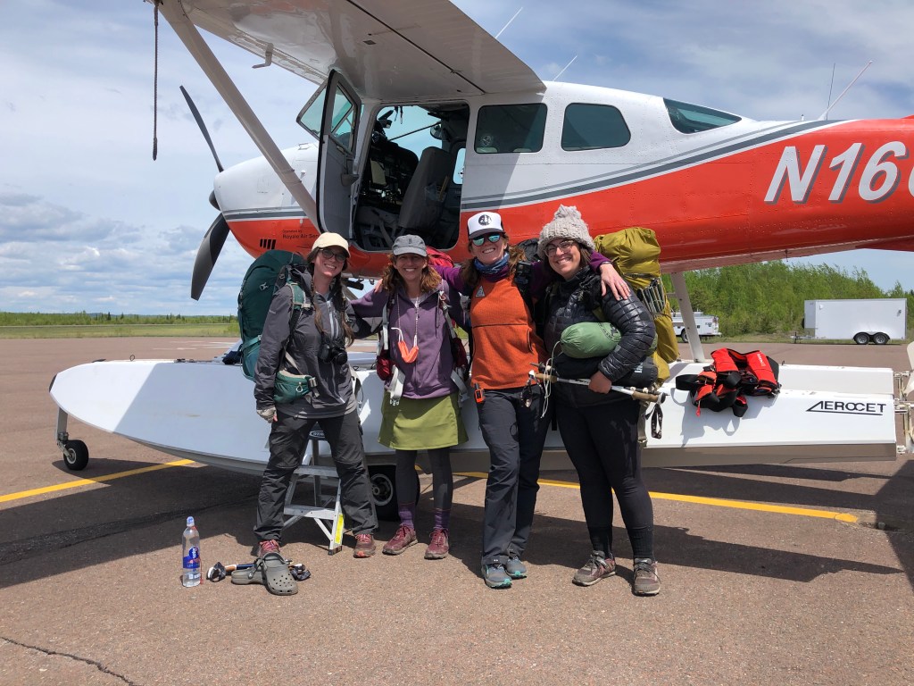
Our amazing adventure officially ended at the Grand Marais Airport and we headed straight to Java Moose for some coffee and back to civilization for dinner in Duluth.
Have you been to Isle Royale? There is so much to see! From extended backpacking trips (like that Father/Daughter Duo we met), paddling trips, day hikes and short visits, long tough trails like the Minong and even cabin accommodations at Rock Harbor! There is something for everyone. Check out part 2 to read about the gear I brought and watch for upcoming posts on my art kit and some of the planning resources we used for our trip if you’d like to know more. If you have any questions or helpful tips to share, please post them in the comments.
Happy Trails!
~WP
Resources:
Part 2 Blog Post: What’s in my pack? 2021 Isle Royale Gear post
Video: What’s in my Pack – Isle Royale Gear video
Podcast: Backpacking Isle Royale – our episode on “Hike” Podcast
Links to my 2016 Isle Royale Posts Part 1 | Part 2 | Part 3
Wandering Pine YouTube – trip and gear videos coming shortly
Wandering Pine is reader-supported and some of our blog posts may contain affiliate links. Learn more here.
Thank you for your support!
enjoyed the post. Reminded me of trips on the BWCAW years ago. Would be interested to know what tent you had on this last Isle royale trip
Thanks Barrie! I bought a Nemo Hornet 2P last minute due to a repair failure on my tarp. I think I was much warmer and happier in this tent than I would have been in my tarp/bivy. Its just under 2 lbs and the 2person was only 6oz more than the 1P, so I splurged. It was roomy and held all of my gear. I’ll be doing some more testing, but good so far.
Wandering Pine, what an exciting adventure for you and a fun read for me! I don’t have a bucket list, but if I did Isle Royal would have been placed on it over25 years ago. Maybe some day. For now I can enjoy the map and info I have had for years!!! Your trip is making me think I should look for a slow moving group to make a trip happen! always love your posts!
Thanks for reading Amy! Reach out if you want trip ideas, there are many routes in varying lengths and levels. And Trail Mom knows the good spots and details on water taxis! You should totally go!
Thanks Amy! I hope you get to experience it!
I enjoyed your account of your adventure. We are hiking the Isle Royale in August. Any tips? What kind of weather should we expect?
Thank you for reading and I hope you have a great trip! For weather, we took a screen shot of the NOAA forecast before our trip. Plan on damp evenings and mornings and hot during the day. I was there in July last time and the bugs were only bad at island mine-but plan for bugs. Lastly, plan for slow hiking and an early start if you have many miles to cover. Even if you are a fast hiker the terrain is challenging and there’s also plenty to look at along the way. Have fun!
Hi Jen,, Thanks for sharing the journey. With photos so amazing I think even Jim Brandenberg would be impressed! Can’t wait to see where the trail leads you next.
Thanks for reading, Luke! It was an adventure for sure! Those tiny rams head lady slippers were such a joy to discover. Happy trails!
Great narrative and details of temperatures, trail conditions and insect concentration! We’ve been planning to do a similar trek for 12 years and next year is the one. Thanks for sharing your insights and paintings.
Hi John, thanks for reading! I hope you have a fantastic trip. Which route are you thinking?
We’re thinking of flying in to Windigo and hiking the Greenstone most of the way across the island. Packing a fresh set of clothes for a night at the Lodge might be a nice treat before a boat ride back to Michigan!