
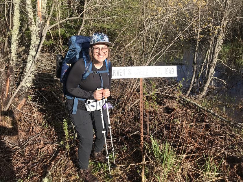
TRIP DETAILS
LENGTH 57.5 miles from Duluth to Two Harbors
DIFFICULTY Challenging: slight elevation, roots, rocks, and epic mud to the shins
DATE May 24-27, 2019
MAIN FEATURES rivers, ponds and wetlands, forests in different growth stages and opportunities to learn a bit about logging on North Shore.

This trip marks my completion of 4 out of 6 total sections of the Superior Hiking Trail. About a week ago, we did the Tettegouche to Two Harbors section, preceded by our SHT 100 miler! This trip was Prank’s (her new trail name) first multi day backpacking trip. She totally crushed it and hopes to complete a thru hike one day! Our trip report will include the map miles as well as her pedometer miles, because we set out to experience and clean up as much of the trail as we could, visiting every spur and campsite…and were surprised to see that we hiked a total of 64.69 miles in 72 hours of mostly mud. We can be proud of that!


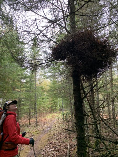
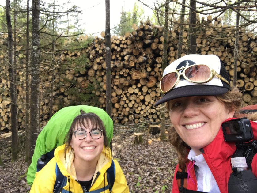
We had heard that his section of the trail is less than scenic, flat and kind of boring. We disagree! Aside from the shin deep unavoidable mud, this was a beautiful section of the trail and gave us a view of the SHT through a different lens. It was more open with young and old forests and interesting to see the contrast from the rock and root-fest of the trails further north.
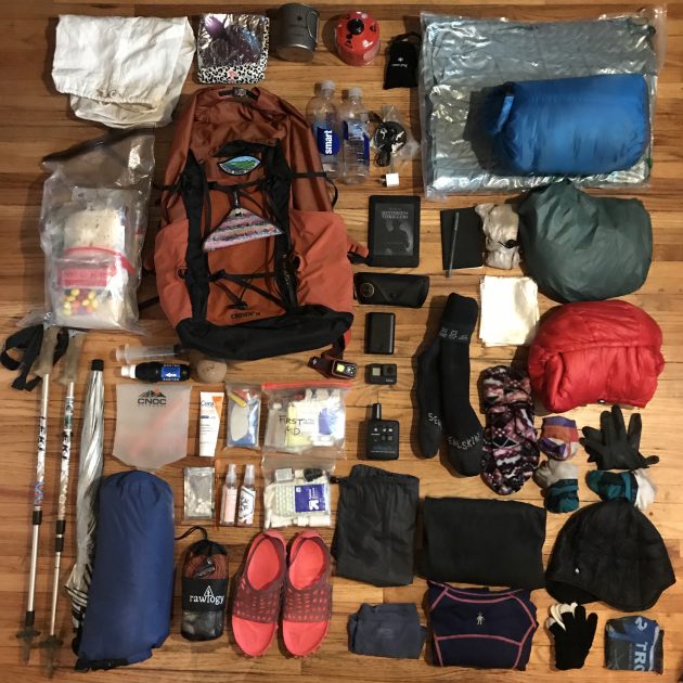

I switched out a few pieces of gear based on weather and a few things I learned on the last trip:
- Big Agnes Winter Pad
- Tarptent 2 Saddle (shared)
- Rain Jacket and Rain Pants (not pictured, last minute swap)
- Bigger Fuel canister (shared)
- Granite Gear Crown 2 38 pack – provided to me as part of being a 2019 Granite Gear Groundskeeper. My DIY pack was showing some wear and I really wanted see if everything would fit into this one. It did!
- Brought less food.
Even with the added weight, I was sitting right around 25 lbs with food and water and was satisfied with that.


Day 1: Martin Road (Duluth) to Lone Tree Campsite – 12.5 trail miles (14.29 total miles)
We hit Duluth on a foggy Friday morning and my friend Jordan (and her two little helpers) dropped us off at the Martin Road Trailhead at 10:30 am. Go check out Jordan’s prints at Tin Cup Design. She’s an amazing artist from Duluth and we really appreciated the lift! We are on our way!

We mostly saw logging sections and snowmobile trails today. Went over the East Branch Amity creek and Lester River. Rain started at 1pm after lunch at the Bald Eagle Campsite. Soaking wet cold feet. We were both so glad we brought a full rain suit (rain pants and rain jacket) instead of a poncho.
 The highlight of the day was catching the footprints of Alex Elizabeth, a female trail runner out to break the FKT record on the SHT. Whenever we have reception we check her stats and can’t believe how fast she’s moving!
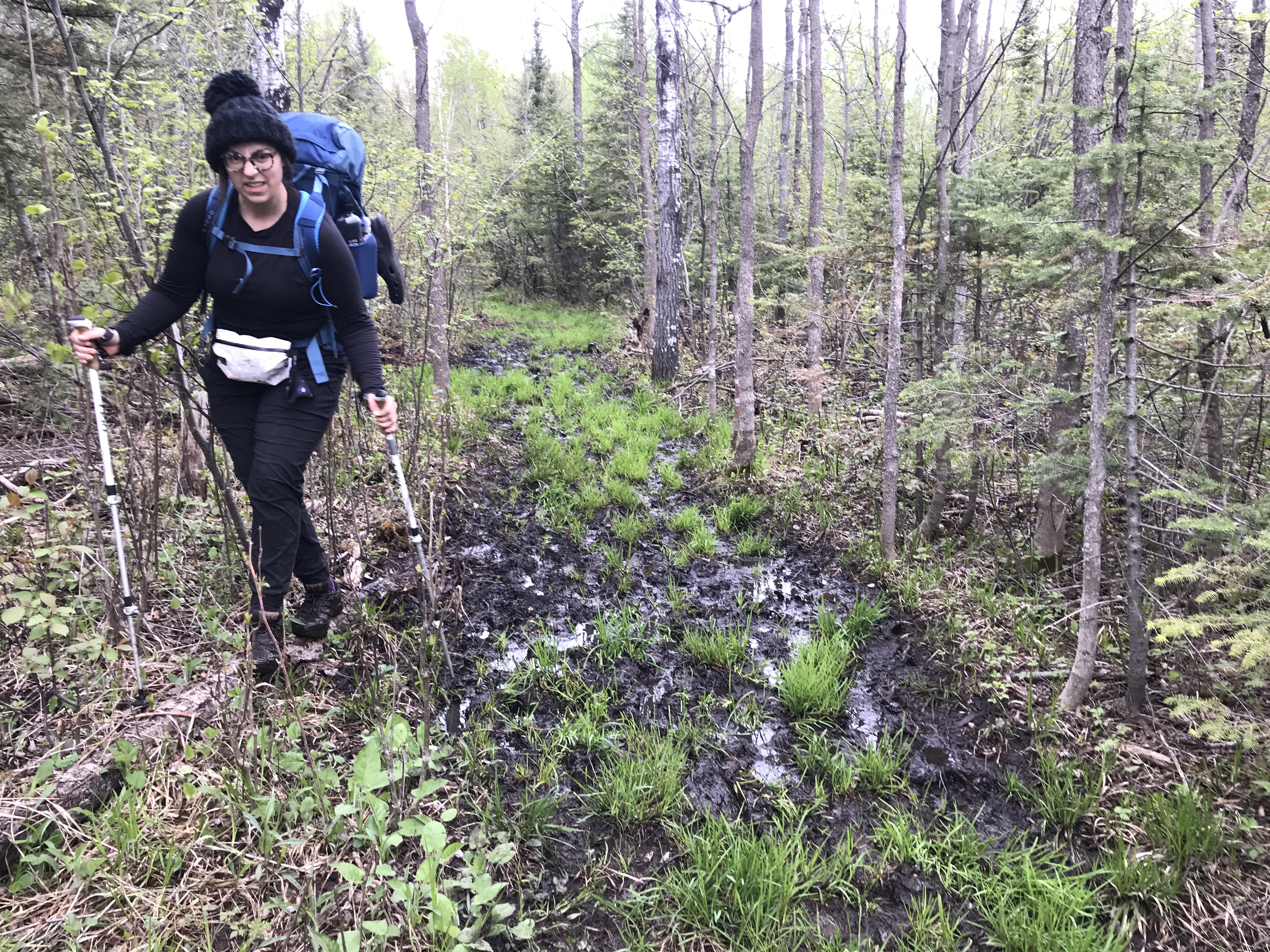
 Our least favorite part of the day was the cold road walk in blasting rain on Lismore Road. My waterproof socks were saturated after about 3 miles and we just walked right though the mud on the rest of the trail.
We coined the term “unavoidable mud”, because no matter where you went, there it was… Leave No Trace best practice is to walk right through it as not to damage or widen the trail, but we did appreciate the occasional log or rock to balance on. It seemed like there were more “stepping stones” to be found on our last trip…not so much here.
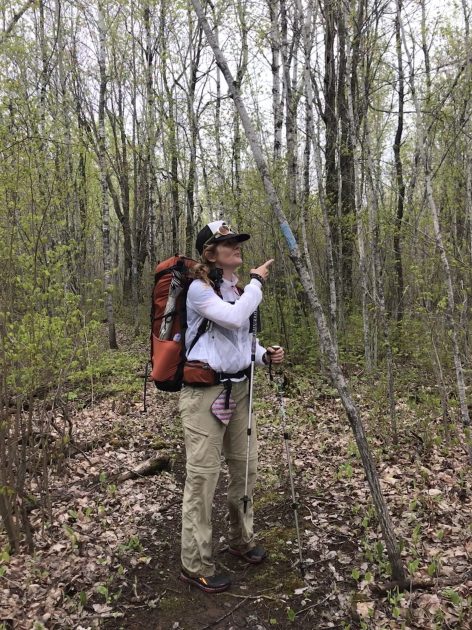
 Aside from the mud, this is a very well blazed section of the trail. We were warned that its easy to get of trail in the logging areas, but so far it’s great. We saw a few downed trees we had to crawl over but only got turned around once in the pine swamp just before White Pine campsite.

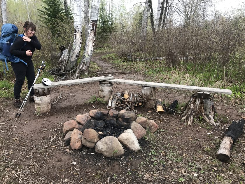
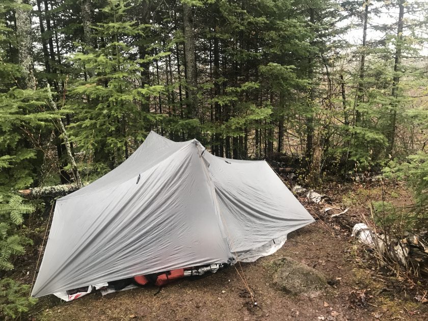
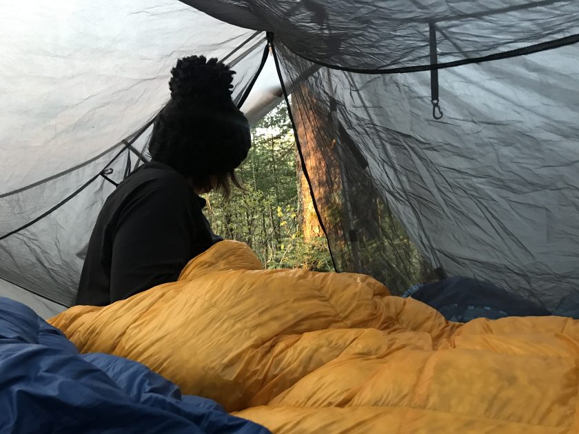
We settled in at the Lone Tree Campsite at 5pm. Knees ache but felt better after rest. It’s wet and cold here but nice spots. I did some jumping jacks to warm up and set up the tarptent at the remote site at the end, protected from the wind by a nice set of fluffy young pine trees.

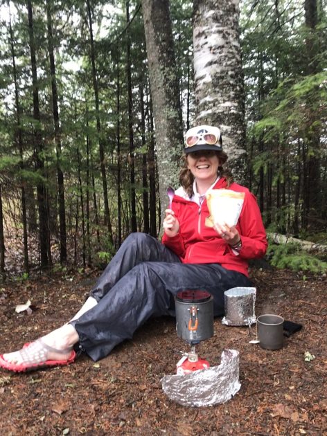
Next, we hobbled down the hill to filter water out of a swamp. We would find out later that there is a clear beautiful river just to the north. Oops, we’ll stop there in the morning. We ate dinner, sitting in the mud in our rain suits under some pine boughs and kind of had a chuckle at our soggy selves.
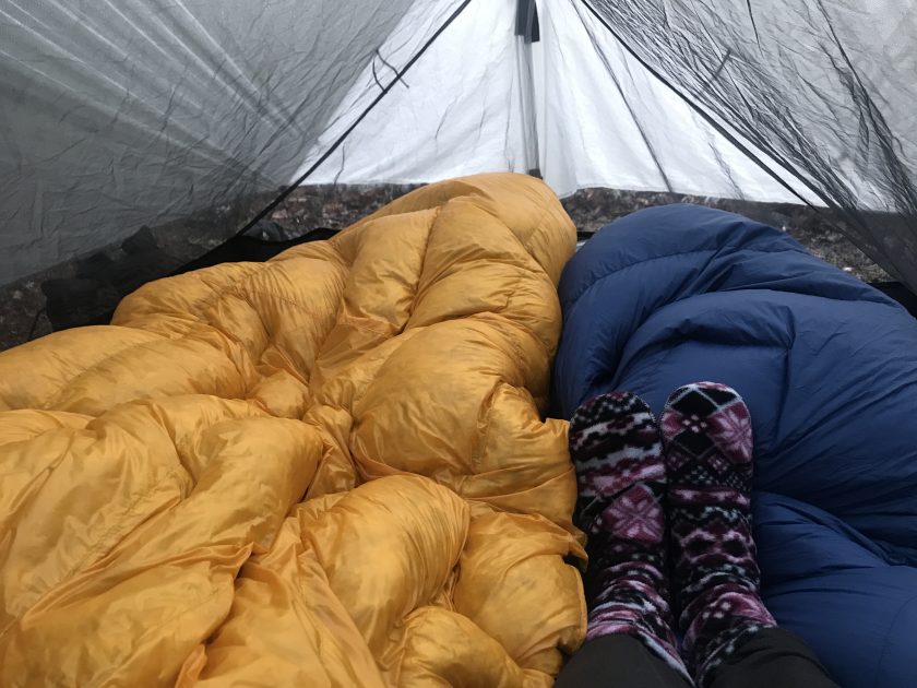
We were so tired, we headed to bed right after dinner. It was only 7pm, but it felt like bed time. Everything was damp but the tent was warm and were nice and snug in our puffy jackets and Enlightened Equipment quilts.
I used my umbrella a bit today and will need to figure out how to secure it better to my new pack. Glad for good weather in the forecast. We are so excited to be on the trail!


Day 2: Lone Tree to Big Bend Campsite – 17.9 miles (21.51 total miles)
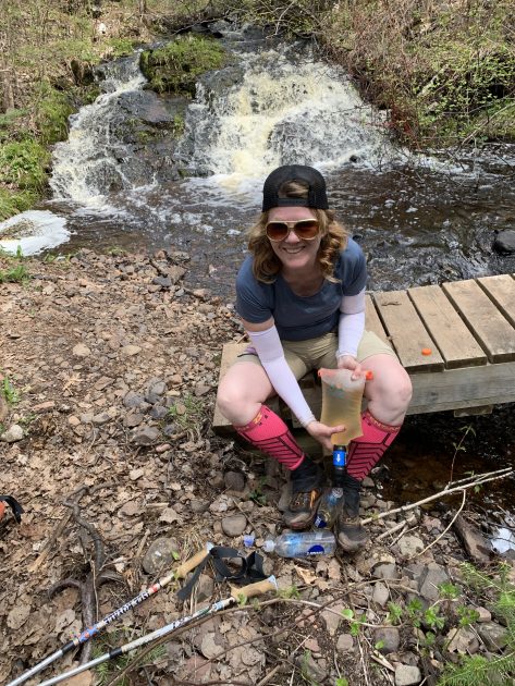
Woke up at 4:30 am and its already light out with birds singing at the tops of their lungs! We talked about our day ahead and made a little breakfast…Prank was packed up quick and ready to go fast. I got sucked into some sort of time vortex and finally rolled out of camp around 7:30. We found the good river water on the way out and filled up before we hit the trail.


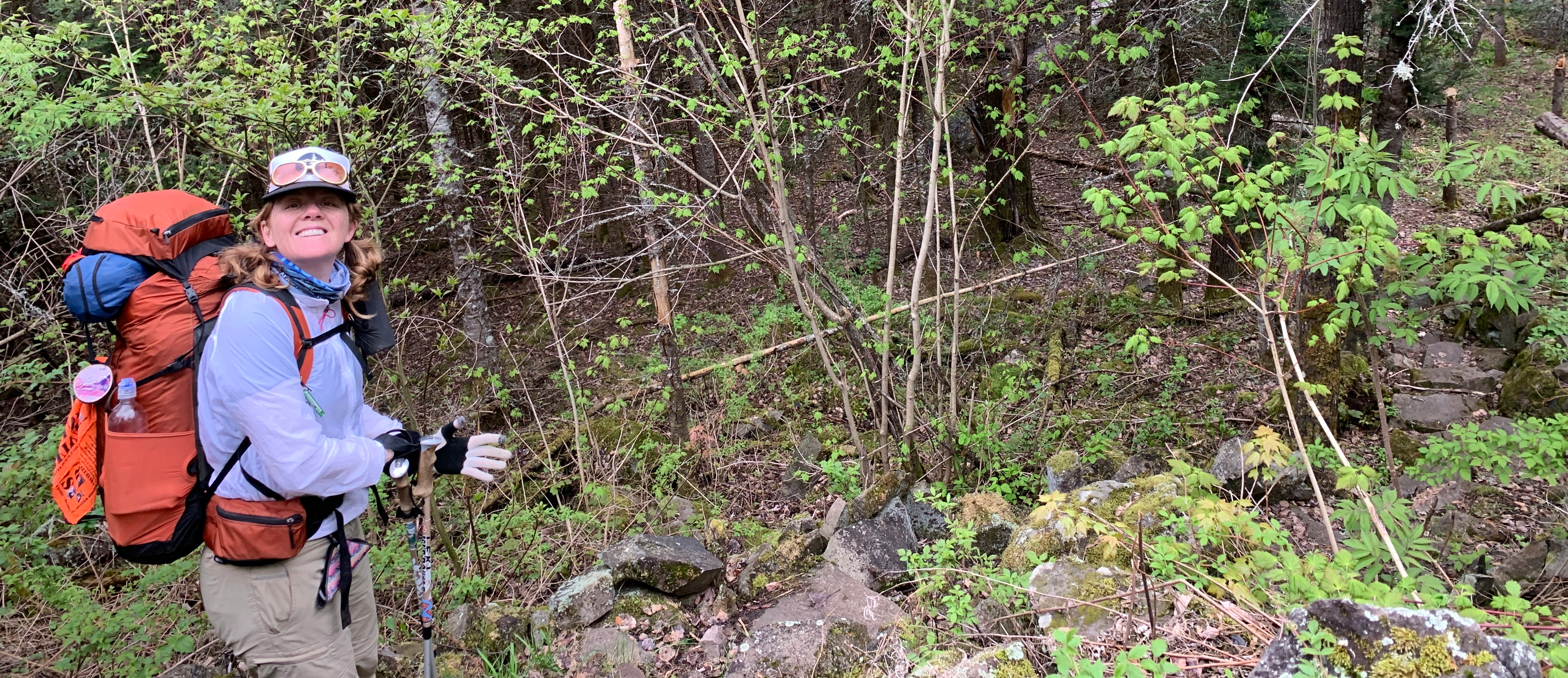
Approximately 2 miles past Heron Pond campsite there is a logging section. This is the spot we were warned about. There are random blue spots painted on trees that are the same color as the SHT blaze….do not follow these.
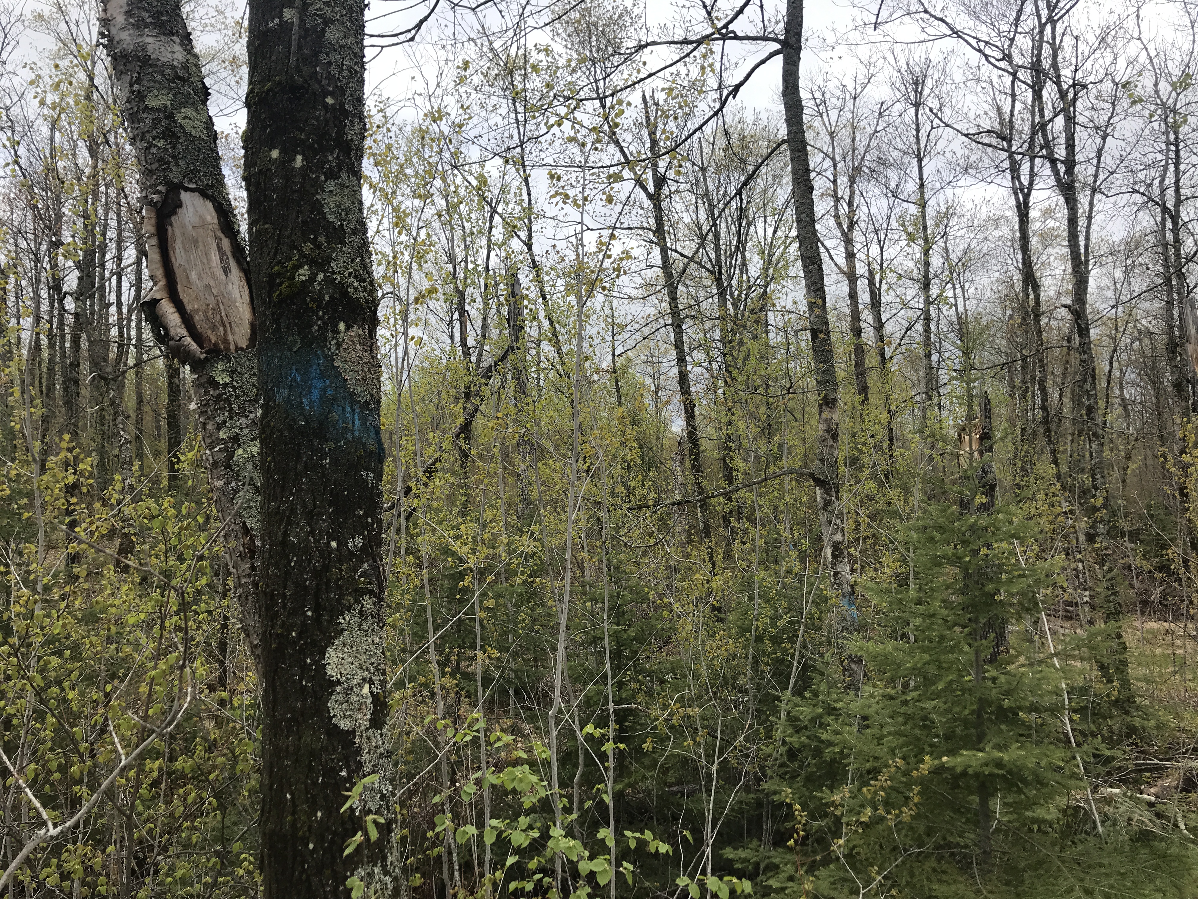 Follow the pink and orange tape until you see the blue blazes again and slow your pace to keep from getting lost. We were very lucky that Prank had just done trail work in this section and remembered the way.
We met 2 bushcrafters at our stop for lunch at the Sucker River Campsite. They were friendly fellas, using hatchets and saws to make pine needle beds, a fire and rigging tarps for their shelters. We didn’t chat much, but we enjoyed watching them make camp and I gave them some filtered water before we left. I think they might have been boiling their water over the fire, because they really seemed to appreciate it! We only saw one tick on this trip, and it was crawling on Prank’s shoulder at lunch. One of the Bushcrafters told us he found one stuck in his armpit…so here’s your friendly reminder to prep for ticks and check yourself on the trail.


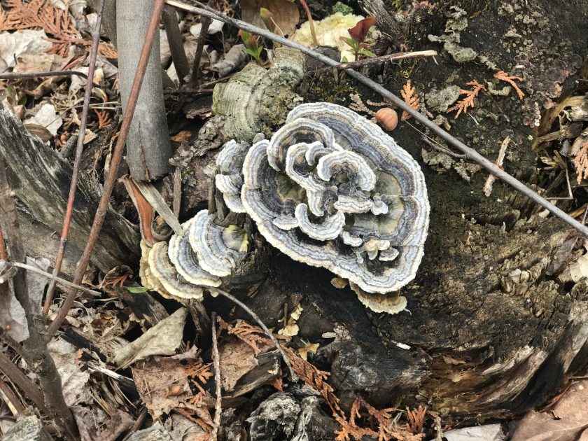

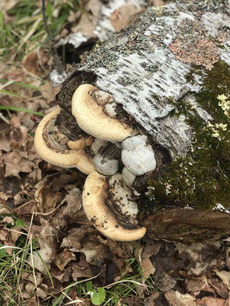

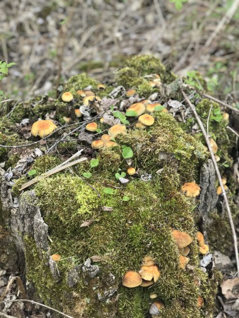

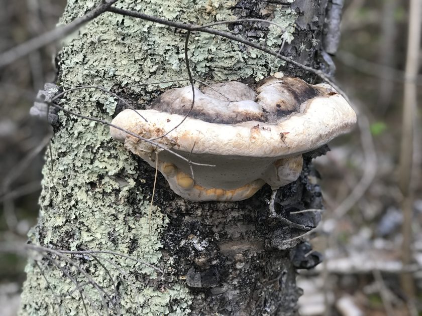
This section of the trail also had some lovely mushrooms, flowers and a frightened little toad we stopped to look at.


Just after the Fox Farm Campsite we crossed a beautifully constructed beaver dam that will be on our eventual Youtube video. So many beavers in this area, water everywhere!


It was close to 7pm when we rolled into Big Bend and there were already 10 tents squished into a 4 pad site for the night! Really great people, and we appreciated them all helping us find a teeny spot for the night. Prank’s pedometer said we’d logged 21.5 miles!
Overall, the trail is hiller than we expected in this area with a couple of distant views of Lake Superior. The bugs are also out and they really love Prank.
Tired.

Day 3: Big Bend to Reeves Falls Campsite 16.8 miles (20.46 total miles)
We took a little more time at camp this morning but still managed to hit the trail just before 8.


The day was filled with ankle twisting mud, rocks and roots (and GIANT MOOSE POOP!). My ankle and shin muscles are pretty sore today just from the work out, Pranks feet have blisters and look like prunes. We arrived at Stewart River Campsite at 3pm after about 13 miles of hiking. We were pretty tired, but decided to push the next 6.8 miles to Reeves Falls just to get out a little earlier on our last day.
Those 6.8 miles were a total slog in the mud but beautiful scenery. It finally felt like the “OLD SHT” today…a bit rougher on our bodies, due to sharp rocks and mud on already beat up feet.
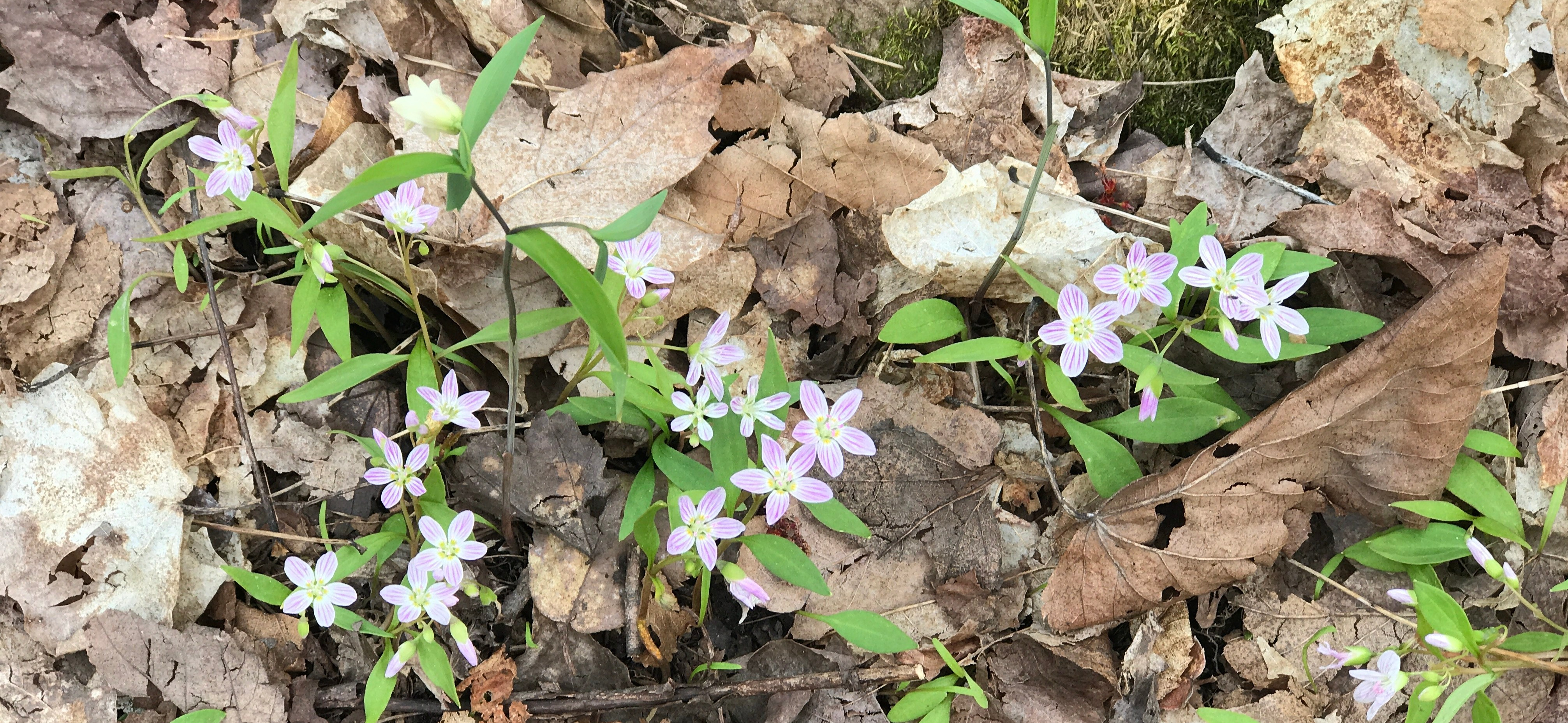 The Demonstration Forest was one of my favorite sections, thick with pine trees and tiny pink flowers we did not see growing anywhere else.
 We stopped at the Ferguson Campground for lunch and to air out our feet. By this time, we were counting people and were up to 30 or so….but the funny thing was, we really only saw people at camp. We passed very few people hiking and felt like we had the trail to ourselves.


After passing an old mine and a Railroad bridge, we came to a road and saw 3 people camping alongside it. We asked them if camp was full and they said that the Reeves Falls Campsite was full of Boy Scouts. We had to go have a look for ourselves! Down the hill, we found a happy Scout Troop that were glad to help us find a spot.


We squeezed into a semi-level spot between the trees and never did count how many Scouts were there… but it was definitely alive with activity and cheer and made Prank and I perk up. I hope they read this and know how much we appreciated their kindness.
As we ate dinner, the Chaplains Aide performed a sermon about not judging others, Prank and I kept glancing at each other like “this kid knows whats up!”. He seemed wise for his years and we enjoyed having church at camp.
Then the Scoutmaster shouted “LOOK!” and pointed way up in a tree at a PORCUPINE! It was up there eating leaves! Of course my gopro battery died right then, but we all ran down to have a closer look at the spiky-sloth-monkey! It was a treat to see the little fella, and later when Prank and I hobbled down to get water and soak our feet at the falls, we saw him climb down and trot away. The ice cold water at the falls felt good on our feet and legs and we held them under until they went numb.
 Day 4: Reeves Falls to Cty Road 301 – 7.5 trail miles (8.43 total miles)
 Day 4: Reeves Falls to Cty Road 301 – 7.5 trail miles (8.43 total miles)
We are hiking around 7 miles out this morning and are really glad we pushed it yesterday to make today’s hike a bit shorter. We decided that if we are to the trailhead by 10:30, we’ll call this a 3 day hike.
The mud was worse on this section than any we had encountered so far. The rain last night made this section a big mess. We would later find out, that this area often has standing water on it even in the summer time, making it quite unpleasant to traverse. My “shin-ankles” are kind of trashed, twisting with every step, nearly losing my shoes in the suction of the mud. Type 2 fun at its finest!
 The last few miles are all downhill, so we focused on keeping our pace, while taking careful steps knowing we were both pretty wobbly. We followed the winding river and made it to the Silver Creek Campsite just to check it out quick and hauled on.
 Right at 10:30, we arrived the trailhead! 2018 Granite Gear Groundskeeper, Carrie, from Two Harbors met us to give us a ride to Duluth and just like that….it was over! We did it!
 64.69 miles of walking in 72 hours! we can hardly believe it!
The trail was so wet, I almost changed my name to Wandering Prune! And we joked AGAIN that the MUD was why the Brown map was brown…(never gets old). We enjoyed our ride to Duluth to pick up my car, grabbed some lunch and drove 6 HOURS HOME in Memorial day traffic, (oops, hi everyone). The drive kind of did my gas-pedal-ankle in, but its on the mend. Over 200 miles down and a little over 100 to go!


I’m heading back on the trail for another 50-ish miles, picking up trash as I go, next week. I will hopefully have some time to edit all of our gopro video footage sometime after that. We included campsite reviews and footage of the trash we found in campfire rings.
Its been challenging but fun stacking three 50 miles sections back to back with about a week in between. Even though its a little intense (and not how I planned it), its been working kind of great for my body and life schedule so far. Im looking forward to a nice vacay with the fam after these LASH: long-ass section hikes are finished.
Summer is here!
If you would like to follow along on the last 100 miles, and read about some of the things I learned along the way, hit subscribe to stay up to date! Check out the WanderingPine YouTube for updates as well. Please be patient with me, I’m learning about video editing and it’s kind of slow going…much better at hiking and making funny faces than editing videos.
Happy Trails!


Wandering Prune & Prank
Wandering Pine is reader-supported and some of our blog posts may contain affiliate links. Learn more here.
Thank you for your support!
Yay!!! Congrats on being 2/3rds-ish done! That’s some pretty epic mileage. Call me impressed!
Those darn time vortexes always seem to get me too. Once you figure those out, along with preventing hikers rash, let me know.
Thanks Holly!
Congrats on completing a wet, 64.69 in 72. I imagine a day or two of warm/dry weather did wonders for your feet! In all my years of hiking the SHT, I’ve never been south of Silver Creek camp site. I’ve hiked in Jay Cooke, but missed most of this recent trail section you described herein! Perhaps you can fill me in on the details sometime over a craft beer or two and a topo map! Cheers!
Deal! Thanks Mike!